
A new Czechoslovak national atlas
Ein neuer tschechoslowakischer Nationalatlas
- Publication
- Petermanns geographische Mitteilungen
- Volume
- 112
- Issue
- 3
- Pages
- 237-239
Czechoslovak · Version 2
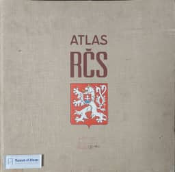
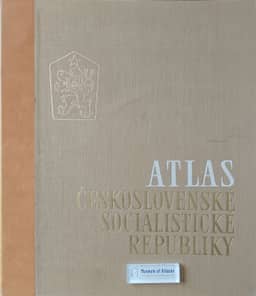
1966W. Stams reviews the 1966 Atlas Československé socialistické republiky as a major cartographic achievement, examining its compilation, thematic coverage and map design. He traces the project from a 1952 plan and its approval in Brno in 1957 to completion after nine years of work, noting the coordinating role of the Academy of Sciences’ National Atlas working group. The atlas contains about 440 maps on 68 sheets, with a principal scale of 1:1 million; explanatory texts appear on the reverse, while titles, legend texts and explanatory summaries are also supplied in English and Russian. Stams praises its extensive statistical material and detailed account of regional differentiation, but observes that predominantly analytical, static maps give limited expression to change and leave maps with more complex statements relatively inconspicuous. He particularly values the larger-scale inset maps and advocates more of them to clarify generalized national overviews. His sheet-by-sheet assessment praises the geological, biogeocoenosis, forest, land-use and agricultural production-type maps, while identifying weak settlement symbols, overloaded geomorphological maps, the lack of a soil map at the principal scale and difficult crop symbols. He also discusses an urban–rural choropleth method and suggests simplifying its central urban shapes.
View whole-article summary
W. Stams reviews the 1966 Atlas of the Czechoslovak Socialist Republic, tracing its origins to a 1952 plan to rework the 1935 Atlas of the Czechoslovak Republic and a decision to proceed at the 1957 geographers’ congress in Brno. Completed after nine years, it was published by the Czechoslovak Academy of Sciences and the Central Administration of Geodesy and Cartography, with 80 institutions and 390 contributors named. Stams credits the Academy’s National Atlas working group with supporting progress and internal consistency. The 68 plates contain about 440 maps, principally at 1:1,000,000, with explanatory texts and English and Russian titles, legends, and summaries. The review surveys physical geography, population, economy, transport, trade, and culture, praising the geological, population-change, land-use, and agricultural-production-type maps. It discusses larger-scale insets and a new areal cartogram distinguishing urban and rural conditions, while criticizing overloaded maps, unclear symbols, and the limited ability of static statistics to convey social change. Comparison with the prewar atlas offers only limited relief from this last problem. Stams recommends more systematic integration of detailed topographic extracts with generalized national overviews, suggesting that further development could guide future atlases. He judges the atlas a high-ranking scientific, cartographic, and printing achievement and closes by endorsing its potential to publicize the socialist state’s accomplishments.
Related Atlases
Comments
Loading...
0/2000