
Estonian national atlas and ÕES
Eesti rahvusatlas ja ÕES
- Publication
- ÕES aastaraamat 2020
- Pages
- 203-204
Estonia · Version 1
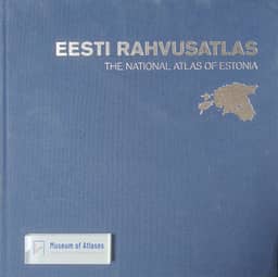
2019In his account, Taavi Pae describes the 2019 National Atlas of Estonia as a joint publication of the University of Tartu's Department of Geography and the mapping company Regio. He reports that it contains nearly 500 maps, including 30 newly produced contemporary maps, while most illustrate and explain Estonia's cartographic heritage. The atlas also includes a bibliography of Estonian cartographic history compiled by Heino Mardiste.
View whole-article summary
This article reviews the compilation principles of the National Atlas of Estonia, published in late 2019, and focuses on the contributions of the Learned Estonian Society (ÕES) to the history of Estonian cartography. By analyzing several historical maps published in the Society's proceedings—including Schultz-Bertram's 1868 map of Kalevipoeg legend sites, Sitska's 1896 archaeological distribution maps, 1930s maps of Lake Peipus fisheries and 17th-century economic geography, and Markus's 1938 ethnic map of Petserimaa—the article reveals how scholarly societies advanced the mapping of cultural phenomena and historical themes. The study concludes that although ÕES was not a professional cartographic institution, its maps constitute a distinctive contribution to Estonia's cartographic heritage, reflecting the close interplay between mapping, academic research, and national identity formation.
Comments
Loading...
0/2000