
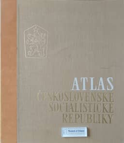
The maps of domestic trade in the national atlas of the ČSSR
Die Karten zum Binnenhandel im Nationalatlas der ČSSR
- Publication
- Petermanns geographische Mitteilungen
- Volume
- 111
- Issue
- 2
- Pages
- 148-152
Czechoslovak · Version 2
1966Josef Hürský explains the compilation of sheet 53, “Binnenhandel,” in the Atlas of the Czechoslovak Socialist Republic. Between the 1958 and 1959 drafts, the principal map’s scale increased from 1:3 million to 1:1 million. Its compilation combined the December 1961 state-trade census with supplementary cooperative-trade surveys. Settlement classification guided the symbols for municipalities above 2,000 inhabitants; turnover and employment were the principal indicators, supplemented by district shading. Missing rural data, overlapping symbols and limited sheet space restricted coverage. Subsidiary maps depict catering establishments, workplace canteens, self-service shops, retail turnover and monetary income. Hürský notes that excluded retail organizations account for roughly 9% of turnover and advises allowing about 10% more for both employment and turnover when interpreting the main map. He discusses unrealized maps of productivity, capacity utilization and mobile-shop routes, and judges the crowded sheet a compromise between demanding analytical mapping and simple choropleths, with several proposed refinements better suited to regional or planning atlases.
View whole-article summary
In the now National Atlas of Czechoslovakia more attention is paid to the network of retail-trade than it is usual in most other national atlases. This is due to the fact that the state control of the economic activity above mentioned in socialist countries makes possible true statistics, especially those of the retail turnover.
Related Atlases
Comments
Loading...
0/2000