
The planning atlas of Australia
Der Planungsatlas von Australien
- Publication
- Allgemeine Vermessungs-Nachrichten
- Issue
- 3
- Pages
- 80-82
Summary
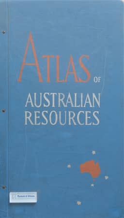
R. Finsterwalder reviews the Atlas of Australian Resources within a discussion of thematic mapping as an aid to national planning. Australia’s Department of National Development in Canberra was preparing the atlas under Dr. K. Frenzel’s direction, with fifty sheets planned at 1:6,000,000. The ten published sheets cover administrative boundaries, climate, soils, groundwater, mineral deposits, agriculture, population and major development projects; each has a sixteen-page explanatory booklet. Finsterwalder reads the maps as showing favorable living conditions concentrated in the southeast and southwest, with agricultural production and population similarly distributed. Aridity limits vegetation in the interior, and seasonal drought restricts it in the north; mineral and oil deposits are also recorded in desert areas. He praises the use of scale and the five- to ten-color graphic design, particularly the population map’s combination of shaded rural densities and spherical symbols for urban populations. He judges the atlas valuable in method and content, anticipates further sheets, especially one depicting landforms, and considers it important for Australia’s development.
Comments
Loading...
0/2000