
The national atlas of the Federal Republic of Germany III — Electronic edition
Der Nationalatlas Bundesrepublik Deutschland III — Elektronische Ausgabe
- Publication
- Kartographische Nachrichten
- Volume
- 58
- Issue
- 1
- Pages
- 11-19
Germany · Version 1
1998–2012Hanewinkel explains how the pilot volume and the twelve-volume printed Nationalatlas Bundesrepublik Deutschland provided the basis for accompanying electronic editions. The pilot’s demonstration CD expanded two topics—large protected areas and urban–suburban migration—to the local level and included an interactive mapping module. For the main atlas, the publisher required the CDs to reproduce the complete print contents and function as independently marketable alternatives to the books; the extensive thematic elaborations demonstrated in the pilot were dropped. CD production began after each print volume received approval for printing, using its completed graphics and texts. Maps required changes to lettering, dimensions and colours for screen display, while texts, references and source information were reorganized for linked navigation. The electronic editions added search, interactive mapping and animations to the transferred contents.
View whole-article summary
This article is the final part of a trilogy on the National Atlas of the Federal Republic of Germany and continues the articles from KN 4/2007 and KN 6/2007. Following the general overview and cartographic insight provided so far, this piece offers an insight into the development, production, and workflow of the electronic edition. In addition to the initial situation, it examines the overall production process and the transfer of the graphic material prepared for the printed edition to the screen-based edition.
Related Atlases
National Atlas of the Federal Republic of Germany, Volume 12: Life in Germany
Germany · 2006
National Atlas of the Federal Republic of Germany, Volume 9: Transport and Communication
Germany · 2001
National Atlas of the Federal Republic of Germany, Volume 6: Education and Culture
Germany · 2001
National Atlas of the Federal Republic of Germany, Volume 8: Enterprises and Markets
Germany · 2004
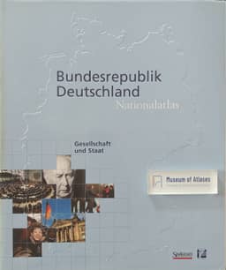
National Atlas of the Federal Republic of Germany, Volume 1: Society and State
Germany · 2000
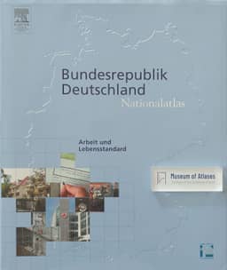
National Atlas of the Federal Republic of Germany, Volume 7: Work and Standard of Living
Germany · 2006
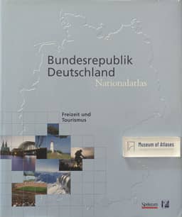
National Atlas of the Federal Republic of Germany, Volume 10: Leisure and Tourism
Germany · 2000
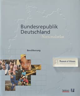
National Atlas of the Federal Republic of Germany, Volume 4: Population
Germany · 2001
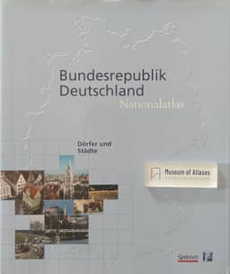
National Atlas of the Federal Republic of Germany, Volume 5: Villages and Cities
Germany · 2002
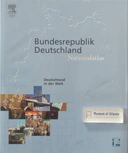
National Atlas of the Federal Republic of Germany, Volume 11: Germany in the World
Germany · 2005
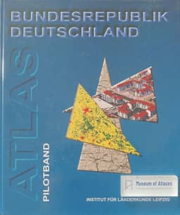
Atlas of the Federal Republic of Germany, Pilot Volume
Germany · 1998
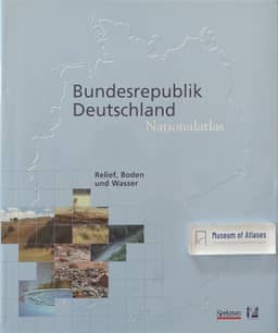
National Atlas of the Federal Republic of Germany, Volume 2: Relief, Soil, and Water
Germany · 2003
National Atlas of the Federal Republic of Germany, Volume 3: Climate, Plant and Animal Life
Germany · 2003
Comments
Loading...
0/2000