
The German national atlas – an overview
Der deutsche Nationalatlas – ein Überblick
- Publication
- Zeitschrift für Geodäsie, Geoinformation und Landmanagement
- Volume
- 132
- Issue
- 4
- Pages
- 261-268
Germany · Version 1
1998–2012Großer, Hanewinkel and Tzschaschel describe the compilation of the twelve-volume Nationalatlas Bundesrepublik Deutschland, published between January 2000 and August 2006. More than 600 unpaid authors contributed, with volume coordinators developing thematic plans and the Leibniz Institute for Regional Geography in Leipzig managing editing and production. Base maps were generalized from DLM 1000 data, principally at 1:2,750,000, and progressively supplemented for individual volumes. The account details the conversion of heterogeneous submissions into standardized maps, repeated corrections, coordination of maps and text, layout, and documentation of original data sources. Funding and contributors’ schedules determined publication order. The authors report broad library availability but modest sales and limited awareness and use, particularly among teachers; they describe a planned online portal while noting that a new edition of the twelve-volume work was not then envisaged.
View whole-article summary
After an introductory review of the prehistory of the National Atlas project, the editorial concept and organizational structures are briefly presented. The focus of the article is on the work on the printed edition of the atlas as well as the concept and processing of its electronic version. One section is dedicated to the organizational, structural, and content-related special features of the National Atlas. Finally, its impact on the professional community and the public is briefly summarized, and an outlook on the continuation of the project is provided.
Related Atlases
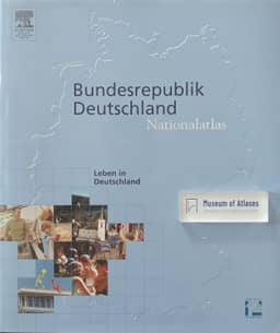
National Atlas of the Federal Republic of Germany, Volume 12: Life in Germany
Germany · 2006
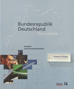
National Atlas of the Federal Republic of Germany, Volume 9: Transport and Communication
Germany · 2001
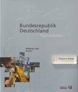
National Atlas of the Federal Republic of Germany, Volume 6: Education and Culture
Germany · 2001
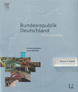
National Atlas of the Federal Republic of Germany, Volume 8: Enterprises and Markets
Germany · 2004
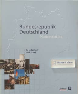
National Atlas of the Federal Republic of Germany, Volume 1: Society and State
Germany · 2000
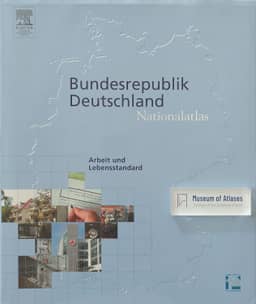
National Atlas of the Federal Republic of Germany, Volume 7: Work and Standard of Living
Germany · 2006
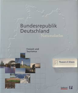
National Atlas of the Federal Republic of Germany, Volume 10: Leisure and Tourism
Germany · 2000
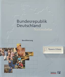
National Atlas of the Federal Republic of Germany, Volume 4: Population
Germany · 2001
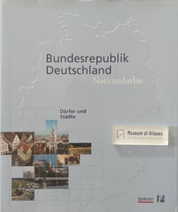
National Atlas of the Federal Republic of Germany, Volume 5: Villages and Cities
Germany · 2002
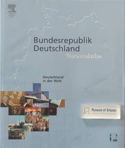
National Atlas of the Federal Republic of Germany, Volume 11: Germany in the World
Germany · 2005
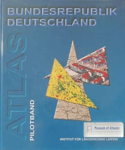
Atlas of the Federal Republic of Germany, Pilot Volume
Germany · 1998
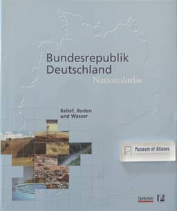
National Atlas of the Federal Republic of Germany, Volume 2: Relief, Soil, and Water
Germany · 2003
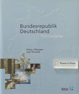
National Atlas of the Federal Republic of Germany, Volume 3: Climate, Plant and Animal Life
Germany · 2003
Comments
Loading...
0/2000