
New atlases
De nouveaux atlas
- Publication
- Annales de Géographie
- Volume
- 428
- Pages
- 474-476
Hungary · Version 1
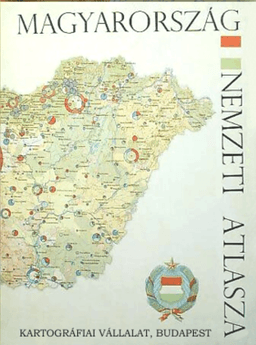
1967Bernard Rouleau reviews the 112-page Hungarian National Atlas published in Budapest in 1967 under the direction of Dr Sandor Rado. He praises its extensive documentation, thematic breadth, numerous maps and varied graphic techniques. Natural conditions receive substantial coverage, including soil formation and degradation, which he identifies as subjects rarely treated in national atlases. Other themes include population and language, settlement, agrarian reform, land use, the economy, transport, tourism, education, hospitals, nature conservation and archaeology. Rouleau finds no new contribution to graphic representation, but judges the atlas to demonstrate a thorough command of graphic techniques.
View whole-article summary
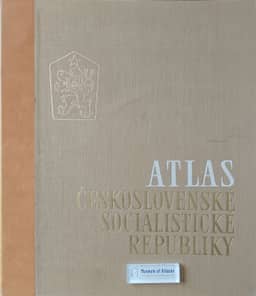
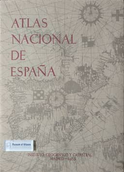
This article reviews seven atlases published in the 1960s, covering regional comprehensive atlases, national thematic atlases, and methodological works on statistical cartography. It analyzes in turn the content structure, cartographic techniques, and design characteristics of each work, including the Atlas of North Carolina, the Atlas Nacional de España, Roberto Bachi's Graphical Rational Patterns system, the demographic fascicle of the Atlas économique et social pour l'Aménagement du Territoire, the Atlas National de Hongrie, the Atlas of the Pacific Northwest Resources and Development, and the Atlas of the Czechoslovak Socialist Republic. The author acknowledges the achievements of these atlases in terms of documentary richness, thematic diversity, and cartographic expressiveness, while also pointing out limitations in format innovation, scale selection, and visual presentation. The review reflects a deep consideration of atlases as tools for regional synthesis and statistical visualization.
Related Atlases
Comments
Loading...
0/2000