
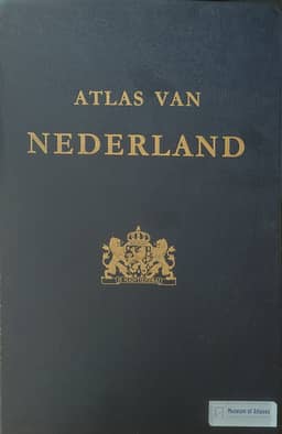
The atlas of the Netherlands
De Atlas van Nederland
- Publication
- Tijdschrift van het Nederlandsch Aardrijkskundig Genootschap
- Issue
- 4
- Pages
- 535-543
Netherlands · Version 1
1981View whole-article summary
This article provides a comprehensive account of the preparation, organizational structure, publication plan, and public reception of the National Atlas of the Netherlands. It begins by reviewing the international development of national atlases, noting that the concept emerged only in recent decades, with the earliest example being the Atlas de Finlande of 1899. After World War II, the demand for national atlases grew rapidly due to the needs of reconstruction, spatial planning, and increased productivity, prompting the International Geographical Union (IGU) to establish a special commission in 1956 to facilitate the exchange of experience and standardization. In the Netherlands, the idea of compiling a national atlas was first proposed as early as 1932, but was delayed by the economic crisis and the war. It was not until 1951 that a foundation was jointly established by the Ministry of Education, the Royal Netherlands Geographical Society, and the Society for Economic and Social Geography, and in 1959 the government granted an annual subsidy of 100,000 guilders, ensuring the atlas's publication. The article details the organizational structure, comprising a Board of Trustees responsible for policy, an Editorial Committee of seven geographers overseeing content, seventeen sub-commissions (one for each chapter) that compile the maps, and a permanent Bureau handling cartographic preparation and printing. Approximately eighty experts from government agencies and universities contributed to the project. The atlas was planned to contain 109 map sheets, with about ten published annually, using a main scale of 1:600,000 and featuring bilingual explanatory texts in Dutch and English on the reverse of each map. While generally following the IGU commission's recommendations, the content was adapted to local conditions, notably including numerous maps on water management and defense against the sea, as well as an inserted soil map in nine sheets at 1:200,000 scale. Finally, the article notes the unexpectedly large public demand, with over 6,500 subscribers—more than four times the initial estimate—which, while gratifying, caused technical difficulties in printing and distribution, leading to a delay in the first issue.
Comments
Loading...
0/2000