
The Danish atlas and hiking map series
Das dänische Atlas- und Wanderkartenwerk
- Publication
- Petermanns geographische Mitteilungen
- Volume
- 96
- Issue
- 3
- Pages
- 210-211
Denmark · Version 1
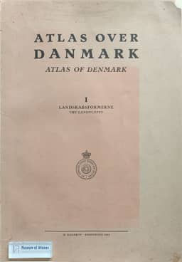
1949–1992Schwind reviews the Danish atlas and wall-map project directed by Niels Nielsen since 1940, designed to serve scientific scholarship and public education. Axel Schou’s first installment (1949), devoted to landforms, combines two maps at 1:700,000 with block diagrams, topographic excerpts, palaeogeographic maps, and an illustrated companion volume. Schwind praises its teaching design and geomorphological differentiation while noting that terminal moraines are not separately distinguished. He also describes physical, geomorphological, and economic wall maps. The economic map locates agricultural and industrial concentrations on Zealand, Funen, and northeastern Jutland. Treating the atlas, text, and wall maps as complementary resources, Schwind recommends their acquisition by universities and schools and looks forward to the remaining installments.
Related Atlases
Comments
Loading...
0/2000