
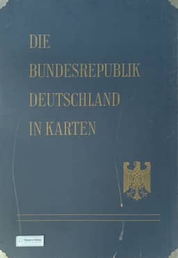
The atlas work “The Federal Republic of Germany in maps”
Das Atlaswerk ,,Die Bundesrepublik Deutschland in Karten“
- Publication
- Raumforschung und Raumordnung
- Volume
- 23
- Issue
- 4
- Pages
- 236-239
West Germany · Version 1
1965Werner Witt reviews the first installment of Die Bundesrepublik Deutschland in Karten, comprising 24 map sheets published in 1965, within the development of thematic and national atlases and the context of Germany’s division. Jointly issued by the Federal Statistical Office, the Institute for Regional Geography, and the Institute for Spatial Research, the atlas was planned to contain approximately 93 sheets in three installments. It would combine maps based principally on the 1960–1961 censuses with geographical and spatial-research material, covering nature, population, health and education, the economy, and regional divisions. Witt argues that separate analytical maps require users to construct their own syntheses but permit flexible combinations for different questions. He examines the scales, large-format loose-leaf presentation, and initial maps of natural conditions, population, housing, agriculture, industry, and development-assistance areas. He praises their cartographic quality while identifying weaknesses in some colors, overlapping symbols, and inconsistent sheet boundaries. Although the first installment cannot support an overall assessment, Witt expects the atlas to become a standard work of thematic cartography on Germany. He criticizes the complete set’s price of DM 720 and advocates public subsidies to broaden access.
Related Atlases
Comments
Loading...
0/2000