
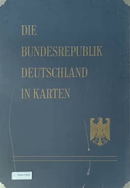
The atlas work 'The Federal Republic of Germany in maps'
Das Atlaswerk 'Die Bundesrepublik Deutschland in Karten'
- Publication
- Wirtschaft und Statistik
- Issue
- 12
- Pages
- 705–707
West Germany · Version 1
1965Siegfried Lehmann explains the origins, design and publication program of “Die Bundesrepublik Deutschland in Karten,” jointly issued by the Federal Statistical Office, the Institute for Regional Geography and the Institute for Spatial Research through W. Kohlhammer. He traces its development from 42 map supplements accompanying the 1949–1950 census publications, which received limited attention, to plans to combine maps from the 1960 agricultural census and the 1961 population, occupational, establishment and building censuses with broader geographical material. The atlas is intended to provide a nationally comparable inventory of population, economic conditions and their geographical setting, excluding representations of planning proposals while supplying material useful for planning. Lehmann discusses maps as both research tools and presentations of knowledge. The proposed loose-leaf atlas uses an open four-digit classification, two standardized sheet sizes, and municipal and district base maps with boundaries dated 6 June 1961. Mapping scales are 1:1 million, 1:2 million and 1:2.7 million; legends include minimum, mean and maximum values and frequency distributions. Five divisions cover general and administrative surveys, nature, population and culture, economy, and spatial divisions, with approximately 87 sheets containing 130 maps planned. A joint map commission coordinates subjects, cartography and publication. The first installment was scheduled for spring 1965, the second for late 1965, and further installments for 1966. Periodic replacement of sheets was envisaged to maintain currency. Lehmann presents the atlas as a resource for administration, business and regional comparison, including international comparisons.
Related Atlases
Comments
Loading...
0/2000