
Criticism and bibliography. Atlas of the Armenian Soviet Socialist Republic
Критика и библиография. Атлас Армянской Советской Социалистической Республики
- Publication
- Вестник Московского университета. Серия 5. География
- Issue
- 2
- Pages
- 77-79
Armenia · Version 1
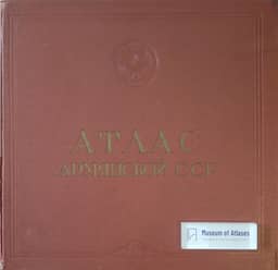
1961K. A. Salishchev reviews the Atlas of the Armenian SSR (Yerevan–Moscow, 1961), published in parallel Russian and Armenian editions by the Armenian Academy of Sciences and the Main Administration of Geodesy and Cartography, under chief editor A. B. Bagdasaryan. Its 119 pages include 98 pages of maps and graphics covering natural conditions, population and culture, economy, and history. Although the preface describes a scientific-reference work, Salishchev considers its circulation and substantial cartographic generalization more consistent with a mass-circulation reference atlas. He praises the extensive physical-geographical coverage, especially climate maps coordinated with relief and supplemented by graphs and informative legends. He also values the agricultural maps, the depiction of revised plans for using Lake Sevan’s waters, and the historical and cultural-monument maps. Population coverage is comparatively weak, and some agricultural overview maps are missing. His criticisms concern scale relative to information density, agricultural mapping by administrative units, inconsistencies between maps, inadequate legends, and errors in symbolization and visual design. He regards the atlas as meeting national-atlas recommendations overall and judges these shortcomings secondary to its scientific, cultural, and practical value.
Related Atlases

Comments
Loading...
0/2000