
Book review: The Federal Republic of Germany in maps
Compte-rendu: Die Bundesrepublik Deutschland in Karten
- Publication
- Annales de Géographie
- Volume
- 78
- Issue
- 427
- Pages
- 356-361
West Germany · Version 1
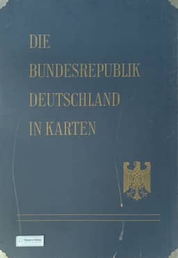
1965Pierre Riquet reviews Die Bundesrepublik Deutschland in Karten, jointly produced by the Federal Statistical Office in Wiesbaden and the federal regional studies and spatial planning institution in Bad Godesberg. He examines the first installment and maps planned for the remaining installments of this three-part atlas. Its compilation draws on the institutions' coordinated cartographic production, combining previously published maps with many original maps. Detailed thematic maps at 1:1,000,000, often showing municipalities, accompany Kartophot statistical maps by district; Riquet discusses the delays involved in processing detailed statistics, including the 1961 census, and preparing maps. He surveys administrative divisions, the natural environment, population, health and education, the economy, and regionalization. He praises the atlas's scientific and teaching usefulness, particularly its soil, occupational structure, agriculture, and new industrial establishment maps, while criticizing missing vegetation and age-structure coverage, repetitive population maps, weak industrial representations, and the industrialization indicator. He also questions the delimitation of small economic regions. The review concludes by calling for coordinated national thematic mapping in France at 1:1,000,000 and better statistical harmonization for European mapping.
Related Atlases
Comments
Loading...
0/2000