
Review: National atlas of Romania
Compte-rendu: Atlas national de Roumanie
- Publication
- Méditerranée
- Volume
- 30
- Pages
- 79
Romania · Version 2
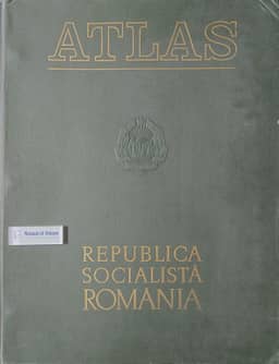
1979F. Conac reviews the National Atlas of Romania while it is still being prepared by the Academy of Sciences' Institute of Geography, attached in 1975 to Bucharest's Faculty of Geography and Geology. Following International Geographical Union recommendations, it is planned to contain 13 chapters and 76 plates; eight plates appeared in autumn 1975, and 20 are reported as being printed. Six chapters are to cover physical geography and seven historical, demographic, settlement and economic subjects. Teams from the institute and universities produce plates with maps on the front and legends, graphics, sections, statistics and commentary on the back; Romanian texts are fully translated into French, English and Russian. Conac praises the luxurious production and carefully arranged contents, and expects remarkable quality on the evidence of the published material. Nearly all issued maps concern physical geography, with population density the exception. He notes that the climate maps do not reproduce the 1965 Meteorological Institute atlas and anticipates new material across the planned plates, particularly on toponymy, migration, nationalities, traffic, industry and land improvement. Once complete, the atlas is to succeed the geographical atlas compiled under V. Tufescu in 1958–1965, which had not been updated.
Comments
Loading...
0/2000