
Classic milestones: national atlases
经典的里程碑:国家地图集
- Publication
- 地图
- Issue
- 6
- Pages
- 23-24
China · Version 6
1989–2012The article recounts the revival and completion of China’s national atlas program after the project was restored as a key national research initiative in 1981. Conceived as an integrated series of relatively independent general, physical, agricultural, economic, and historical atlases, it drew on new data and production methods and involved hundreds of institutions, editors, and specialists. The agricultural, economic, general, and physical volumes appeared successively, with the economic and physical atlases also issued in English. The author presents the series as a comprehensive synthesis of Chinese knowledge about nature, population, the economy, society, and history, emphasizing its value for planning, research, education, and international scholarly exchange. Awards and favorable assessments from international cartographers are cited as evidence of its quality, while the project is also credited with stimulating atlas production and training a generation of Chinese cartographers. Overall, the author regards it as an unprecedented national scientific and cultural achievement and a milestone in modern Chinese cartography.
View whole-article summary
This article traces the planning, organization, and publication of China’s national atlas project. Included in the national science development plan in 1956, the project established a compilation committee and an editorial office at the Map Publishing House in 1958. The physical atlas was completed in 1965 and printed for internal circulation in 1967, while other compilation work was interrupted by the Cultural Revolution. Resumed in 1981, the project adopted five volumes: general, physical, agricultural, economic, and historical atlases. The agricultural, economic, general, and recompiled physical atlases appeared in 1990, 1993, 1995, and 1999, respectively; the three-part historical atlas was described as forthcoming. The article discusses collaboration among institutions and specialists, bilingual editions and electronic versions of selected volumes, domestic scientific awards, and assessments by international cartographers. The author credits the project with supplying information for planning, research, and teaching, encouraging national and provincial atlas compilation, and training cartographic professionals, and regards it as representing China’s highest contemporary level of cartography.
Related Atlases
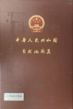
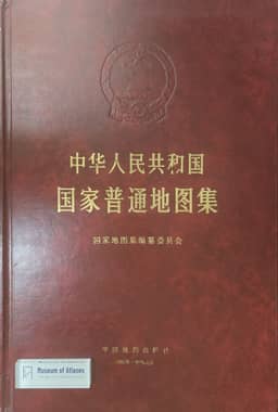
National General Atlas of the People's Republic of China
China · 1995
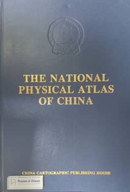
The National Physical Atlas of China
China · 1999
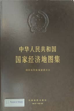
National Economic Atlas of the People's Republic of China
China · 1993
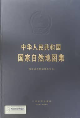
National Atlas of the People's Republic of China
China · 1999
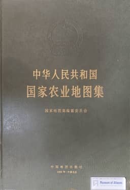
National Agricultural Atlas of the People's Republic of China
China · 1989
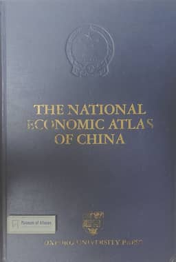
The National Economic Atlas of China
China · 1994
Comments
Loading...
0/2000