
Characteristics and innovations of the National Natural Atlas of China
中国国家自然地图集的特点与创新
- Publication
- 地理学报
- Volume
- 55
- Issue
- 1
- Pages
- 112-117
China · Version 6
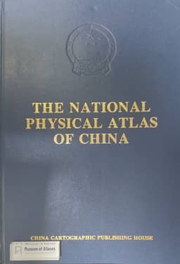
1989–2012Liao Ke describes the compilation and innovations of the 1999 National Physical Atlas of China (《中华人民共和国国家自然地图集》), published simultaneously in Chinese and English. More than 300 specialists worked for twelve years to produce 540 maps in five parts and eighteen map groups. Compilation drew on multidisciplinary surveys, long-term observations, research results and existing thematic maps. Common base maps, technical standards, coordinated legends and boundaries, satellite imagery and computer cartography supported consistency and revision. Liao emphasizes the atlas’s expanded scientific coverage, its biodiversity maps and its presentation of new earth-science research. Separate sections on resources, disasters, and the use and protection of nature connect this coverage to planning and conservation. He identifies fully digital computer-assisted design, editing and automated plate-making as a major technical innovation, supported by experiments and databases of thematic-map colors, symbols and Chinese characters.
View whole-article summary
The “National Natural Atlas of China” (1999 edition) contains 540 maps in eight series of general, natural environment (geology and geophysics, geomorphology, climate, hydrology, soil, biology, and oceanography), natural resources, natural disasters and the utilization and protection of nature as well as 300 000 words of notes to the maps.
Related Atlases
Comments
Loading...
0/2000