
Cartographical progress: Atlas of Australian Resources
- Publication
- The Geographical Journal
- Volume
- 127
- Issue
- 1
- Pages
- 123-125
Australia · Version 1
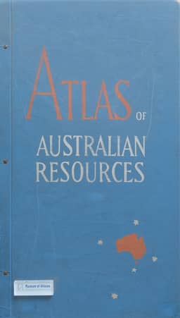
1960–1977This review evaluates the Department of National Development’s Atlas of Australian Resources (1954–60), comprising thirty large maps and accompanying specialist commentary booklets. Issued over six years without a prescribed arrangement, the maps generally use a continental base on a polyconic projection at 1:6,000,000; the booklets supply additional diagrams, maps and explanations. The reviewer surveys physical geography, climate, agriculture, minerals, water, transport and development projects, while giving the nine demographic maps little detailed attention. He praises the geological map and commentary, the drainage map’s depiction of settlement constraints, and transport information difficult to obtain elsewhere. He also criticizes physical-feature terminology and some design choices, and finds the vegetation map complex for geographical use while recognizing its contribution to plant ecology. The discussion notes uneven detailed soil-survey coverage and the commentaries’ accounts of agricultural techniques and limits to expansion. The reviewer sees the development-project map as supporting his advocacy of national planning and welcomes the atlas’s explicit documentation of Australia’s geographical disadvantages.
Comments
Loading...
0/2000