
Canada in six atlases
- Publication
- Cartographica
- Volume
- 7
- Issue
- 2
- Pages
- 126-130
Canada · Version 2
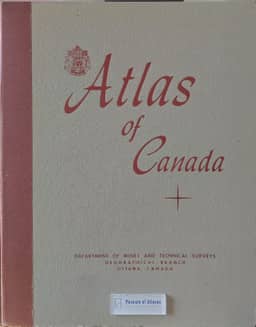
1957–1959In this comparison of six Canadian atlases, N. L. Nicholson describes the Atlas of Canada as a ten-year undertaking intended to show the nation's mid-century physical background, economic development and their interrelationships. Its page size accommodated a national map at 1:10,000,000, using a Lambert conformal conic projection with a polyconic projection above 80°N; other map scales were simple multiples of the base scale. Nicholson explains that its predominantly topical organization reflected its national purpose and the expectation that provinces would produce their own regional atlases. He regards its contents as complementary to those of the Economic Atlas of Ontario. Citing L. D. Stamp's review, he also notes its attention to specifically Canadian subjects, including large-mammal distributions and the Sudbury ore-field.
View whole-article summary
The writer examines six recent Canadian Atlases, the 1958 Atlas of Canada and five provincial atlases, and comments upon some of the patterns, trends and principles that may be observed from their study. The effects of the original aims and purposes of these atlases and the effect of government policy upon them is considered, and it is observed that they may be regarded as pedagogical works organized in accordance with the methodology of geography. It is concluded that the recommendations of the IGU Commission on National Atlases have had an important influence upon each of these publications.
Related Atlases
Comments
Loading...
0/2000