
Bos atlas of the Netherlands
Bosatlas der Nederlanden
- Publication
- Belgeo. Revue belge de géographie
- Issue
- 1
- Pages
- 141-142
Netherlands · Version 3
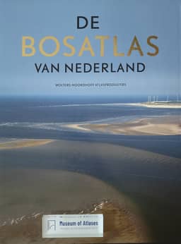
2007Trudo Dejonghe reviews the 2007 Bosatlas of the Netherlands, a 560-page atlas containing more than 2,400 maps, produced through over two years of editorial and cartographic work. He describes its rapid sell-out and public disputes over maps of landscape attractiveness, carnival villages and football. He criticizes its near-exclusive focus on the Netherlands outside the historical section, citing Barend Kobben’s observation that ignoring nearby Antwerp distorts the mapping of access to urban centres in Zeeuws-Vlaanderen. Dejonghe nevertheless identifies uses for Belgian readers in maps of migration, drug offences, museums and UNESCO sites, alongside Karel Tomei’s landscape photographs. He praises the cartographers’ colour choices and selective detail for producing highly legible maps, and asks whether a comparable Belgian atlas could become a successful reference work.
View whole-article summary
The 53rd edition of the "Bosatlas der Nederlanden" was preceded by more than two years of work by editors and cartographers. The result is an edition weighing more than five kilograms, consisting of 560 pages and more than 2,400 maps, covering more topics than traditional atlases. Wolters Noordhoff Atlas Productions therefore called the atlas: "A spectacular journey of discovery through one's own country and an expression of national pride." In the weeks following the atlas's release, it became apparent that the Netherlands...
Comments
Loading...
0/2000