
Books in Review: National Atlas of India
- Publication
- Surveying and Mapping
- Volume
- 18
- Issue
- 3
- Pages
- 339
India
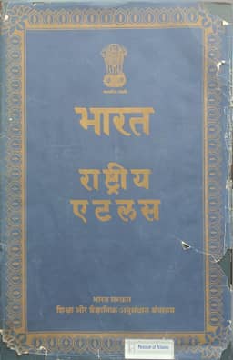
1957This review describes the 1957 National Atlas of India (Preliminary Hindi Edition), prepared under S. P. Chatterjee, with final drafting and printing by the Survey of India. The reviewer praises the maps' quality and notes that English translations accompany Hindi titles, legends, and notes. Its 26 sheets cover India's physical geography and socio-economic structure, including agriculture, industry, transport, population, education, and health. They contain 21 maps at 1:5,000,000 and 16 at 1:10,000,000, alongside smaller-scale world maps and numerous insets. The review explains how color tints, screens, and symbols combine different kinds of information: the forest and land-use map distinguishes 12 land categories, 35 dominant tree species, and 11 vegetation types. It singles out the administrative map as the first comprehensive delineation of minor civil divisions since the 1881 census, showing boundaries following the reorganization of November 1, 1956. The review closes with prices for the standard and popular editions, the sales office, and a contact for American inquiries.
Related Atlases
Comments
Loading...
0/2000