
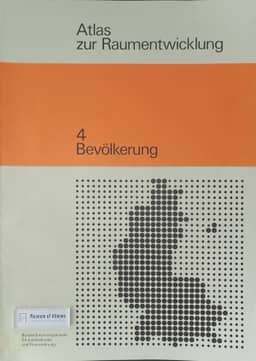
Book reviews: Atlas zur Raumentwicklung 4: Bevölkerung
- Publication
- Annals of the Association of American Geographers
- Volume
- 70
- Issue
- 4
- Pages
- 601-603
West Germany · Version 2
1976–1985Leszek A. Kosiński reviews the 1976 Atlas zur Raumentwicklung 4: Bevölkerung, published by the Bundesforschungsanstalt für Landeskunde und Raumordnung, and regards the series as a continuation of Die Bundesrepublik Deutschland in Karten. The population volume contains 64 maps in twelve sections, supported by analytical text, graphs, source lists, and data descriptions. Most maps use county-level data and all include West Berlin. Kosiński surveys population trends and projections for 1960–1985, fertility and natural increase, migration, the foreign population, age structure, selected areas, and European comparisons. He gives particular attention to comparisons of migration during the 1966–67 recession and 1970–71 prosperity, contrasting patterns among Germans and foreigners and among age groups. He praises the detailed, spatially disaggregated data and clear multicolor maps, while noting the limited long-term perspective and scarcity of synthetic or multivariable maps. He explains that the volume was conceived as one stage in periodically updated cartographic coverage.
Related Atlases
Comments
Loading...
0/2000