
Australia’s resources atlas
- Publication
- Abstracts of Papers, International Geographical Congress, Norden 1960
- Pages
- 238
Australia · Version 1
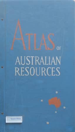
1960–1977T. W. Plumb describes the preparation of the Atlas of Australian Resources, produced by the Department of National Development and nearing completion. Editor since 1956, he supplements earlier accounts by the first editor, K. Frenzel. The article outlines the atlas’s organization, form, and selection principles: presenting accessible resource information, preferably of long-term significance, with most maps at 1:6 million. It describes data collection, map compilation, drawing for reproduction, and printing. Each map is accompanied by a booklet or commentary, generally about 7,000 words, often containing statistical tables, graphs, and smaller maps that supplement the mapsheet. Discussion of the thirty mapsheets by subject explains their coverage, cartographic problems and solutions, and treatment of significant aspects of Australian geography.
Comments
Loading...
0/2000