
Atlas zur Raumentwicklung: A new thematic atlas and a contribution towards the solution of regional-planning problems
- Publication
- First United Nations Regional Cartographic Conference for the Americas, Panama, 8–19 March 1976. Vol. II: Technical Papers
- Pages
- 261–263
West Germany · Version 2
1976–1985This account presents the Atlas zur Raumentwicklung while it was still being compiled by the Bundesforschungsanstalt für Landeskunde und Raumordnung. Designed for planners, researchers, teachers and interested public audiences, it selects contemporary social problems and regional disparities in the Federal Republic of Germany. A 1972 survey of potential users informed the reduction from fourteen themes to eleven, graphic design, pricing and anticipated sales. Each theme was to combine an introductory map, detailed thematic maps, comparisons within selected regions and across European countries, and an updated development sheet. Sheets coordinate maps, legends and explanatory text with diagrams and tables; standardized colours and simplified base maps support readability. The institute's subject divisions undertake scientific and editorial work, with computer assistance for information preparation, graphic presentation and colour separation, and in-house cartography and printing. At the time of writing, Population was being printed for distribution in the first half of 1976, and Labour and Education had completed editorial preparation. The account argues that explanatory text can clarify statistical weaknesses and allow a more limited problem-oriented atlas where regional data are inadequate.
View whole-article summary
The Atlas zur Raumentwicklung (Atlas of Regional Planning) represents a new type of thematic atlas. Two fundamental ideas characterize this work: a) Experts and interested laypeople alike should have access to information on regional conditions and problems; b) Information presented in different forms should be provided to users seeking answers to specific questions. The atlas contains maps as well as diagrams and tables, and each sheet is accompanied by an explanatory text. This text clarifies the statistical basis of certain maps. This type of thematic atlas thus provides an interesting example for any country where the quality of official statistics has not yet reached a very high level.
Related Atlases
Atlas of Spatial Development 0: Administrative Boundaries
West Germany · 1982
Atlas of Spatial Development 10: Spatial Planning
West Germany · 1985
Atlas of Spatial Development 4: Population
West Germany · 1976
Atlas of Spatial Development 8: Environment and Energy
West Germany · 1982
Atlas of Spatial Development 6: Leisure
West Germany · 1977
Atlas of Spatial Development 3: Transport
West Germany · 1976
Atlas of Spatial Development 9: Disadvantaged Areas
West Germany · 1982
Atlas of Spatial Development 2: Education
West Germany · 1976
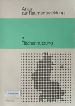
Atlas of Spatial Development 7: Land Use
West Germany · 1976
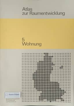
Atlas of Spatial Development 5: Housing
West Germany · 1976
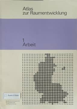
Atlas of Spatial Development 1: Work
West Germany · 1977
Comments
Loading...
0/2000