
Atlases published in Israel, 1980–1989
Atlas publiés en Israël, 1980-1989
- Publication
- Méditerranée
- Volume
- 70
- Pages
- 76-77
Israel · Version 2
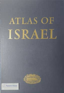
1985Kolodny reviews the 1985 third edition of Atlas of Israel, noting that it reworks or updates selected themes from earlier editions, including population data from the June 1983 census. About one-third of the plates cover general and physical topics, and two-thirds address population, settlement, economic activities and the environment. He particularly praises the plates on the development and structure of the principal agglomerations and secondary towns. Maps are labelled in Hebrew, with English translations of titles and legends; explanatory text is available in Hebrew or English. Geographic coverage varies by topic: physical maps extend beyond state boundaries, including a previously unpublished geological map of Sinai, while demographic and economic information on the West Bank and Gaza is sparse. Kolodny calls the atlas remarkable and notes the participation of about sixty experts.
View whole-article summary
This article reviews major atlases published in Israel between 1980 and 1989, covering national, regional, and urban scales. It highlights the third edition of the Atlas of Israel (1985), with two-thirds of its plates devoted to population, economy, and urban structure, including a new geological map of Sinai; the Atlas of Haifa and Mount Carmel (1980); and the Atlas of the Negev (1986), which examines settlement and resource development in a semi-arid region. The review also assesses historical atlases of Jerusalem and the Holy Land by Nebenzahl, Rubin, Bahat, and Gilbert, as well as general educational atlases and the Survey of Israel's monograph series. Collectively, these works demonstrate significant progress in Israeli cartography in thematic diversity, technical precision, and historical depth.
Related Atlases
Comments
Loading...
0/2000