
Atlas of Switzerland Goes Online and 3D—Concept, Architecture and Visualization Methods
- Publication
- Progress in Cartography: EuroCarto 2015
- Pages
- 171-184
Switzerland · Version 2
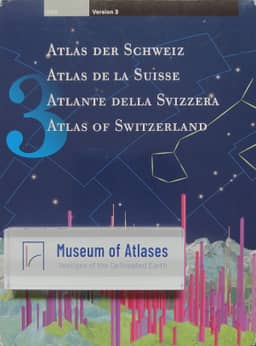
2000–2010In their background account, the atlas team describes Atlas of Switzerland 3 (2010) as containing about 2,000 maps, supplemented by time series and available in 2D and 3D modes, including block diagrams, prism maps and panoramic views. Its functions include sky viewing, terrain analysis, data and map comparison, and smart legends. Assessing the 2000–2010 desktop series as a whole, the authors credit its varied map types, graphic design, adaptive layers and tailored tools, while identifying proprietary formats, excessive functionality, an awkward transition between 2D and 3D, and minimal online connectivity as limitations.
View whole-article summary
Interactive atlas systems are products of high cartographic quality and user-targeted functionality. The main challenge for future digital atlases will be to incorporate the new trends of 3D mapping, online and mobile applications into atlas design. The Atlas of Switzerland, an example of a mature digital atlas, tries to advance these trends together with existing atlas functions in its next version. Starting with the concept of an online 3D atlas, this article explains the architectural implications of an atlas based on a virtual globe engine. By embedding the globe in a modern graphical user interface and implementing cartographic 3D visualizations, it is intended to strengthen the position of the atlas against other online mapping services.
Related Atlases
Comments
Loading...
0/2000