
Atlas of Finland - Past and Present
- Publication
- Mapping the Nations: Proceedings
- Volume
- 1
- Pages
- 325-333
Finland · Version 1
1899–2002Jaatinen describes the compilation and design of the fifth edition of the Atlas of Finland, including the linked thematic folios. Preparations began in 1970; in 1974 the Geographical Society of Finland and National Board of Survey established joint publication arrangements and a state-funded editorial unit. Completion was expected in 1992 after two postponements. Initially manual cartography increasingly used the Board's MAAGIS system. Institutions, individual scholars and teams supplied material, while the editorial staff coordinated contributions and standardized their presentation; the Finnish Meteorological Institute prepared all maps and texts for Climate. The Society maintained a consistent geographical approach, scientific scrutiny and spatial accuracy. Folios combine Finnish running text with multilingual graphic explanations and separate Swedish and English text appendices. Each folio reflects information current at its publication, supplemented by temporal comparisons, index terms and references. Jaatinen credits the systematic thematic organization with supporting scientific and educational use, while noting overloaded graphics, difficult prose, uneven layout and limited problem orientation.
View whole-article summary
Since 1899, Finland has published five national atlas editions. As they were all scholarly conceived, they are like mirrors of the nation and its changes since the end of the 19th Century. In addition, they display methods, themes and composition of atlas cartography in a unique sequence. The fifth edition (1977-1992) substantially expands traditional frames, it is in fact a comprehensive geographical information system. It is published (in Finnish, Swedish and English) in 26 folios and contains 46 subject areas.
Related Atlases
Atlas of Finland, Folio 234: Forestry
Finland · 1977
Atlas of Finland, Folio 312-313: Planning, Security
Finland · 1991
Atlas of Finland, Folio 242-244: Construction, Energy
Finland · 1986
Atlas of Finland, Folio 210: Population
Finland · 1981
Atlas of Finland, Folio 311: Public Administration
Finland · 1978
Atlas of Finland, Folio 151-152: Land Use, Land Ownership, Real Estate Formation
Finland · 1991
Atlas of Finland, Folio 241: Industry
Finland · 1983
Atlas of Finland, Folio 321-323: Organizations and Civic Activities
Finland · 1991
Atlas of Finland, Folio 232-233: Agriculture - Special Branches, Fisheries
Finland · 1980
Atlas of Finland, Folio 251-253: Commerce, Services
Finland · 1990
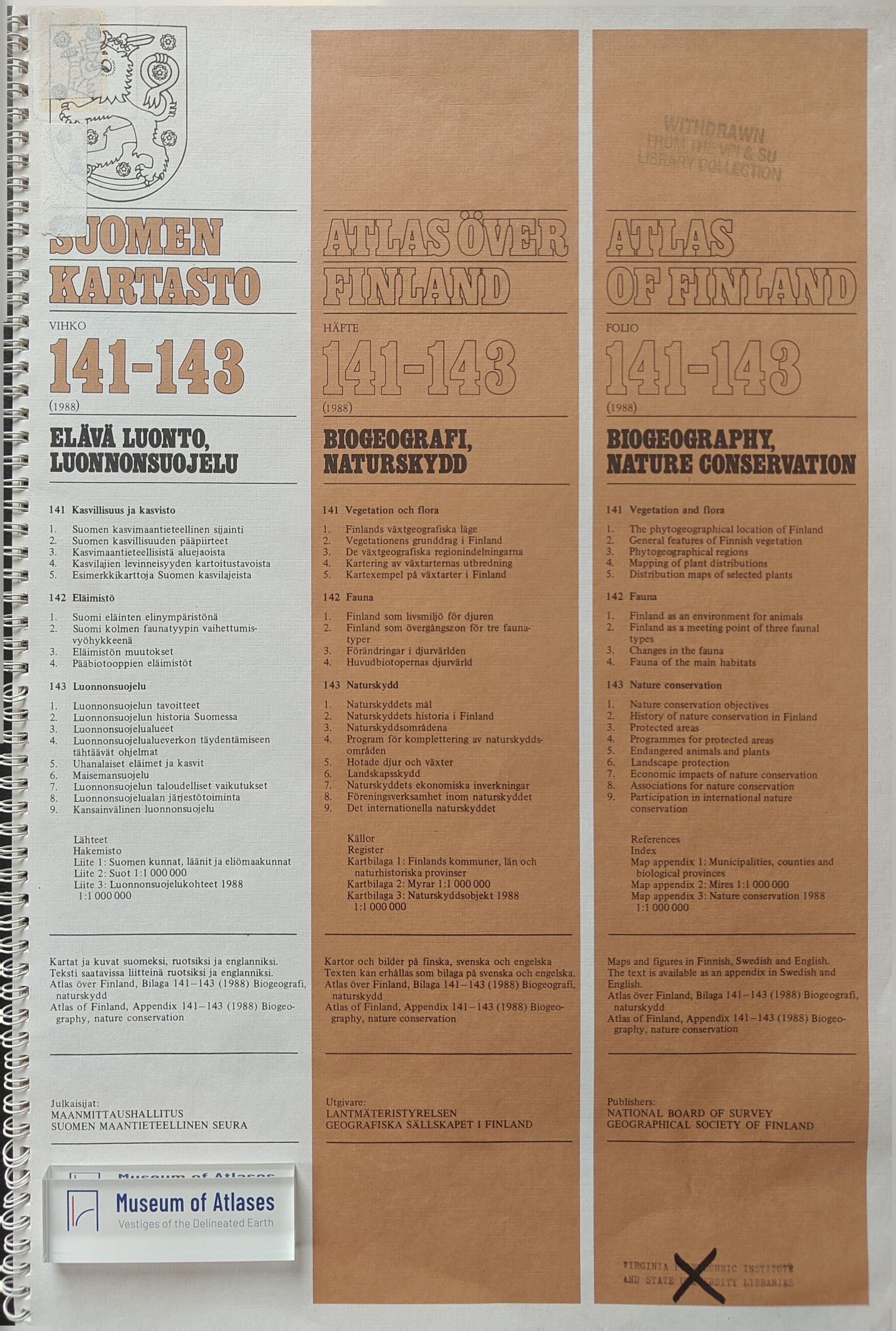
Atlas of Finland, Folio 141-143: Biogeography, Nature Conservation
Finland · 1989
Atlas of Finland, Folio 341-344: Living Conditions and Social Policy
Finland · 1984
Atlas of Finland, Folio 132: Water
Finland · 1986
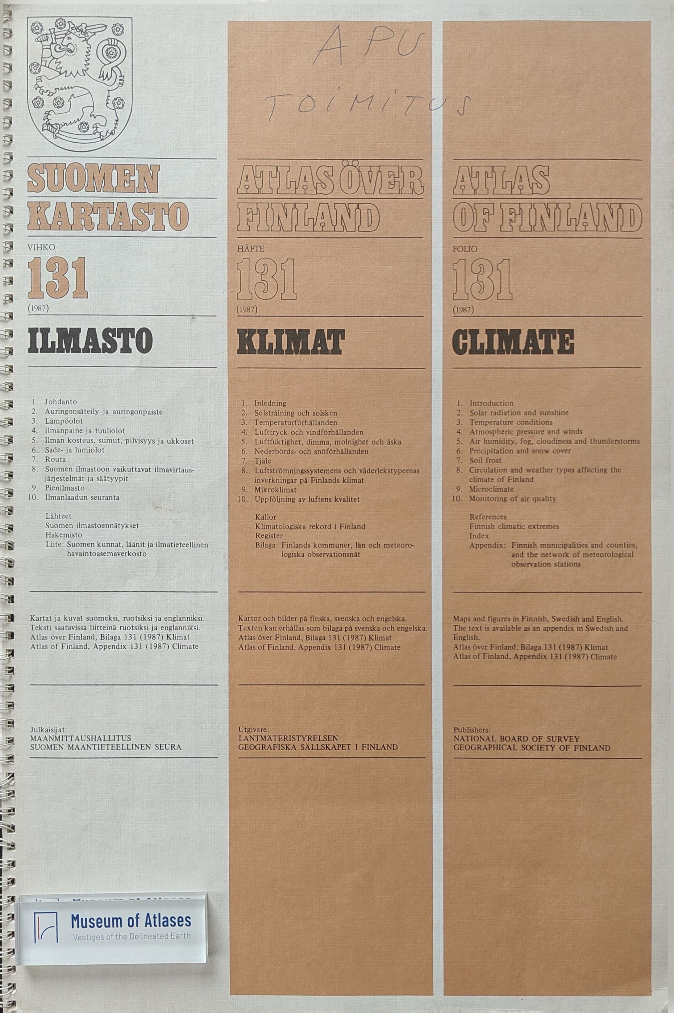
Atlas of Finland, Folio 131: Climate
Finland · 1987
Atlas of Finland, Folio 330: Education, Research, Information, Culture
Finland · 1989
Atlas of Finland, Folio 261-263: Communications, Tourism
Finland · 1985
Atlas of Finland, Folio 112: Mapping of Finland
Finland · 1984
Atlas of Finland, Folio 121-122: Relief and Landforms
Finland · 1986
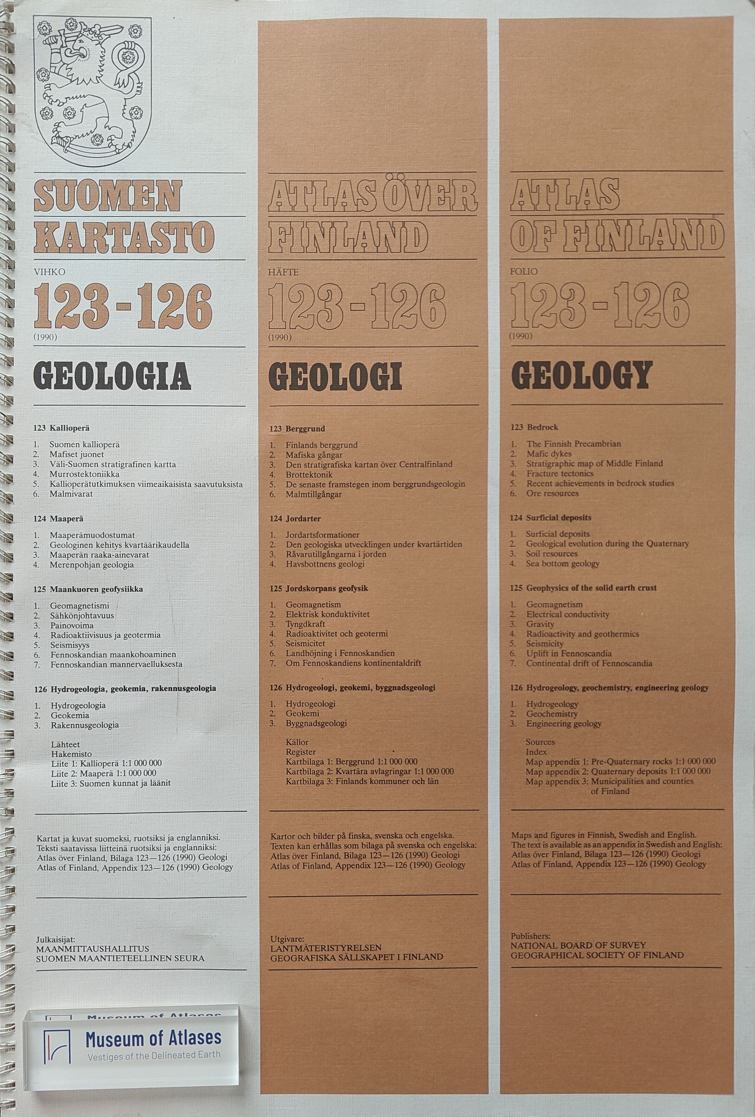
Atlas of Finland, Folio 123-126: Geology
Finland · 1990
Comments
Loading...
0/2000