
Atlas of Finland
- Publication
- The History of Cartography, Volume Six: Cartography in the Twentieth Century
- Pages
- 117–119
Summary
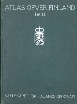
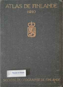
Bengt Rystedt traces six editions of the Atlas of Finland, which he identifies as the world’s first national atlas, from 1899 to 2002. The Geographical Society of Finland published the first four editions. He interprets the early French-language publications under Russian rule and the English-language third edition after independence as expressions of nationalism. The first three emphasized infrastructure and population distribution; the fourth broadened coverage of physical and cultural geography, using thematic maps with multivariate superimposed symbols. The fifth edition, jointly published with the National Land Survey, comprised 25 folio volumes covering 44 subjects in 1977–94. Under Stig Jaatinen’s scientific editorial committee, specialists designed maps and wrote explanatory texts, making extensive use of statistics. The folio format accommodated maps of Finland at 1:1,000,000, with trilingual legends and separate Swedish and English texts. It concluded with Pentti Alalammi’s 1994 associated book, Finland’s Landscapes, and Urban and Rural Milieus, also issued in Finnish and Swedish; Rystedt characterizes it as a love-letter to Finland’s landscape. The Finnish centenary edition of 1999 introduced academic geography to the public and examined Finland’s changing local-to-global connections. Its expanded English edition, Finland—Nature, Society, and Regions, appeared with a CD-ROM in 2002 and updated selected themes. Rystedt presents the series as a national symbol whose changing subjects and cartographic treatments reflect scholarly development and contemporary priorities.
Related Atlases






Comments
Loading...
0/2000