
Atlas of Finland
- Publication
- Abstracts of Papers, International Geographical Congress, Norden 1960
- Pages
- 1
Finland · Version 4
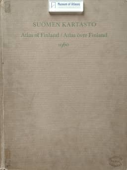
1960Leo Aario describes the compilation of the 1960 fourth edition of the Atlas of Finland, following editions published in 1899, 1910 and 1925. Most maps were drawn at Helsinki University’s Department of Geography, whose staff also gathered most of the material. A limited grant prevented enlargement of the atlas, so material from the third edition was retained only where no major changes had occurred over the preceding 35 years. Omitting material previously shown on large-scale maps made room for more than 400 maps, compared with fewer than 300 in the previous edition; about two-thirds had no counterpart there. Aario explains that more effective use of colour was intended to improve readability despite smaller average map dimensions. Combining different intensities of red, blue, yellow and grey produced the desired colours with only five printing plates, avoiding increased printing costs.
Related Atlases
Comments
Loading...
0/2000