
National atlas of Mexico, the whole country on your shoulder
Atlas Nacional de México, todo el país al hombro
- Publication
- UNAM hoy
- Volume
- 1
- Issue
- 3
- Pages
- 5-9
Mexico · Version 3
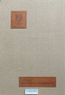
1990Germán Muñoz Guevara describes the compilation, contents, and potential uses of UNAM’s Atlas Nacional de México, presenting it as Mexico’s most important geographical work of the century. Completed after five years of work beginning in 1985, its three volumes cover general maps, history, and society; nature and the environment; and the economy and international relations. Some 300 specialists produced 600 maps on 160 sheets, using INEGI base maps and designing the colors, symbols, and graphic presentation themselves; subject specialists reviewed the scientific content. Collaboration with Cuban geographers, formalized in 1986, brought experience from the Nuevo Atlas Nacional de Cuba into the Mexican project. The article highlights the achievement of printing the atlas in Mexico at a quality it judges comparable or superior to European production. It discusses biodiversity mapping and possible applications to rain-fed agriculture, urban growth, ecological protection, and industrial location. Sheets could be purchased individually, and the format allowed additions and updates. Published and unpublished research data also formed a geographical and statistical database for studies extending to municipal and local scales.
Related Atlases
Comments
Loading...
0/2000