
Atlas mapping in Tanzania: An African case study
Tanzania · Version 2
1976In this survey of atlas production in Africa and Tanzania, the 1976 Atlas of Tanzania appears as the second edition of the national atlas, published by the Surveys and Mapping Division, Ministry of Lands and Housing and Urban Development, Dar es Salaam, fully revised and enlarged. Statistical data are 1972 figures where available, with population taken from the 1967 census; the volume grew, its descriptive text panels were extensively rewritten, and many new photographs and diagrams were added. Base maps for the national atlas editions derive from the 1:2,000,000 topographic map, the largest published single sheet covering the whole country. For this edition the authors record the adoption of stable polyester film, scribecoat and deep-etch for linework, peelcoat masking, stripping film and wax stick-up for names and symbols, higher-resolution percentage tints for area fills, and positive working colour proofing on white opaque astrofoil.
View whole-article summary
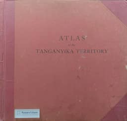
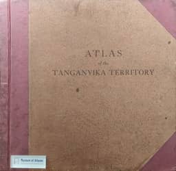
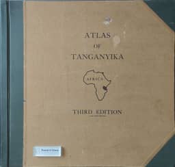
The continent of Africa has a long history of atlas production at both regional and national levels. The countries of East Africa are no exception to this, hence the history of atlas production in Tanzania can be mirrored in many other countries across the African continent. The first part of this paper will review the history of atlas publication in Africa and Tanzania, making special reference to the source data and base maps; atlas contents, formats and scales; and the cartographic production methods adopted for atlases of Tanzania. Six separate editions of a "national" atlas of Tanzania have been published to date, one of German East Africa, three of Tanganyika and two for the Republic of Tanzania. In addition there have been numerous general, specialist/thematic and school atlases published by educational establishments and commercial companies for both East Africa and Tanzania. Atlas production can be a time consuming and costly process requiring a large collaborative effort by several organisations and many individuals with scientific and cultural expertise in both physical and human geography and in the field of mapping and topographic science for the map production process. The second part of this paper will discuss the impact of current digital mapping technology on national and commercial atlas production, with a view to (i) the revision or production of a new edition of a national Atlas of Tanzania, (ii) the production of a demographic atlas and (iii) the creation of a small scale cartographic data base. A series of completed sample atlas sheets of Tanzania, created by digital mapping methods and utilising desk top publishing technology, will be cited in this part of the paper. The discussion will concentrate on a comparison of analogue and digital atlas production methods and consider their role in the future of atlas publication in Tanzania and Africa.
Related Atlases
Comments
Loading...
0/2000