
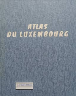
Atlas of Luxembourg
Atlas du Luxembourg
- Publication
- Studii și cercetări de geologie, geofizică și geografie. Seria geografie
- Volume
- 20
- Issue
- 2
- Pages
- 254–255
Luxembourg · Version 1
1971The review describes the first fascicle of Atlas du Luxembourg, published by the Ministry of National Education in 1971 while the atlas remained in preparation. It places the project within the national-atlas initiative promoted by the International Geographical Union's Commission on National Atlases. The fascicle contains 101 maps and 12 diagrams in six chapters, using the Gauss projection and principally scales of 1:200,000, 1:300,000 and 1:400,000. Its 40 × 50 cm format places maps on right-hand pages and titles, scales and sources on the left. Coverage includes history and language boundaries, physical geography, administrative divisions, population, economic activities and social services. Historical material includes a tracing-paper city plan that can be superimposed on Luxembourg's former fortifications. The reviewer praises the suitability of areal, dot and cartodiagram methods for population themes. The economic section contains 50 maps and diagrams, with particular attention to ironworking from 1600 to 1969, industrial change, and river transport through the Moselle and Mertert port. The reviewer finds that the fascicle presents a multifaceted account of Luxembourg's territory, population and economy, including postwar economic changes, and anticipates more detailed coverage as further plates appear.
Comments
Loading...
0/2000