
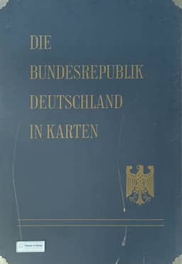
Atlas “The Federal Republic of Germany in maps”
Atlas „Die Bundesrepublik Deutschland in Karten“
- Publication
- Berichte zur deutschen Landeskunde
- Volume
- 34
- Issue
- 2
- Pages
- 337–339
West Germany · Version 1
1965This editors’ account introduces Die Bundesrepublik Deutschland in Karten at the appearance of its first delivery. Demand for separately available maps accompanying the 1950 census publications, followed by encouragement from two federal ministries, led to a joint editorial project presenting the 1960–61 censuses with additional thematic maps. The Federal Statistical Office prepared the census data and associated maps; the Institute for Regional Geography supplied administrative, regional-geographical, and utility maps and executed the cartography; the Institute for Spatial Research contributed location and planning maps. Subject specialists drafted maps for joint cartographic discussion, while other agencies supplied material and existing maps were incorporated to extend the inventory and reach wider audiences. The atlas covers administration, nature, population and public services, the economy, and spatial divisions. Distribution maps, dot maps, and choropleths show regional differences, chiefly through municipal and district data at 1:1,000,000 and 1:2,000,000. The account describes about 180 multicolored representations on roughly 90 loose sheets, designed for use in administrative and planning discussions. The editors present the atlas as an inventory and disclaim national-atlas status. Its size and price limit individual ownership. They envisage a more broadly accessible geographical regional atlas emphasizing spatial qualities, functions, and regional synthesis; initial work had begun, and they describe the present atlas as a foundation for that project.
Related Atlases
Comments
Loading...
0/2000