
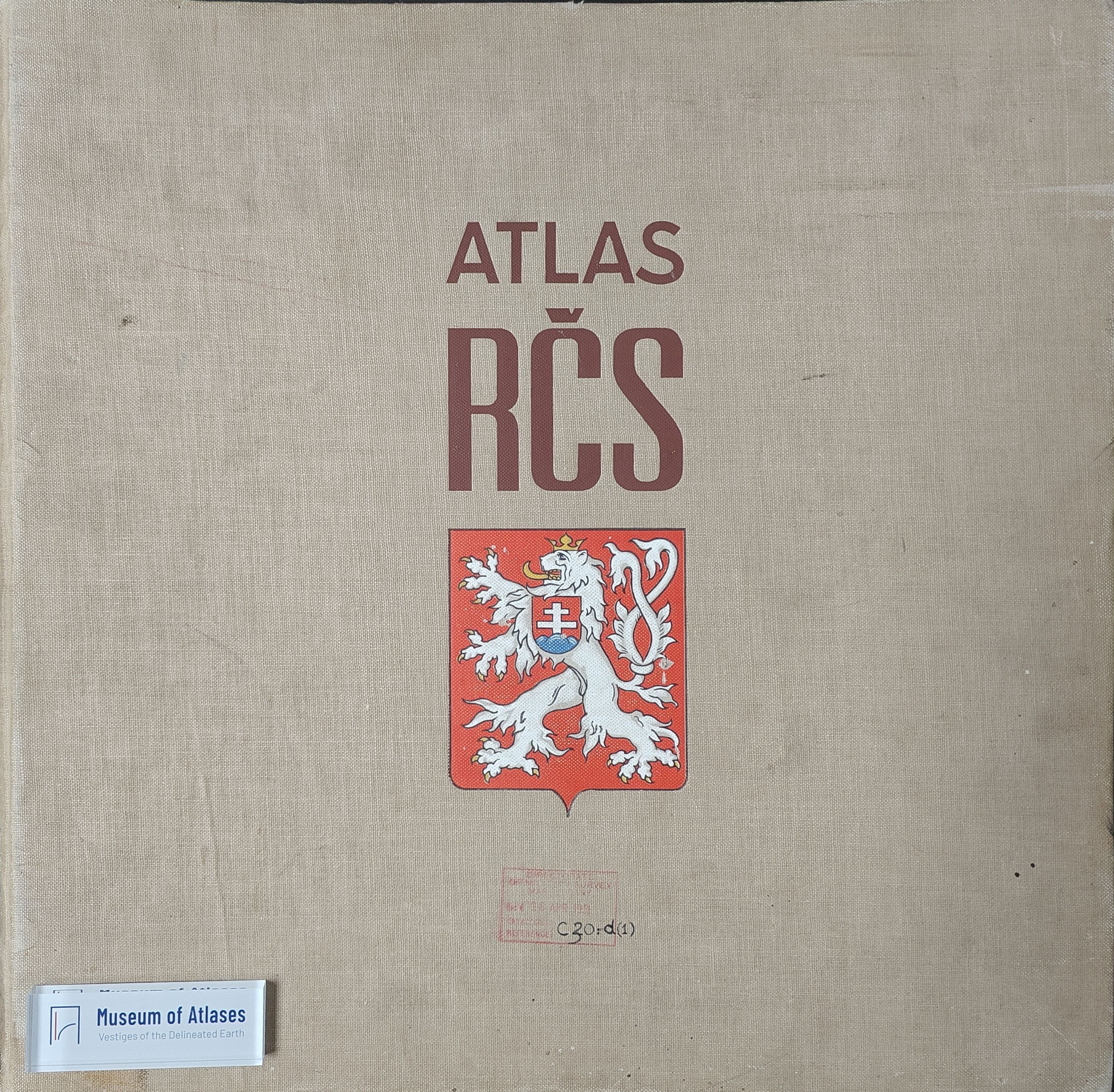
Atlas of the Czechoslovak Republic
Atlas de la République Tchécoslovaque
- Publication
- Comptes rendus du Congrès international de géographie, Varsovie, 1934
- Volume
- Tome I
- Pages
- 257-258
Czechoslovak · Version 1
1935–1966V. Švambera reports on the compilation and near-completion of the Atlas of the Czechoslovak Republic. Publication had been expected by the end of 1932, but work took two further years, chiefly because the editors awaited statistical work needed to use the latest census fully; illness and a death within the editorial team also caused delays. Under the auspices of the Czech Academy of Sciences, nearly 60 specialists used materials from central institutions to pursue the editors’ stated aim of a scientifically impartial portrayal of the country. The atlas accommodates 450 maps on 55 sheets, covering natural conditions, history, population, nationalities, agriculture, the economy and social and cultural activities. Consultation and trials led to scales of 1:1,250,000 for principal phenomena and 1:2,500,000 and 1:5,000,000 for others; statistical maps employed mathematical methods and checks. The Army Geographical Institute undertook reproduction over four years. Five map sheets remained outstanding in the copy presented. Issued in three-sheet fascicles, the atlas was expected to be fully available by the end of 1934, with 24 explanatory text sheets. Švambera calls it the country’s first work of this kind, acknowledges room for improvement in a second edition, and announces a planned companion geographical compendium.
Related Atlases
Comments
Loading...
0/2000