
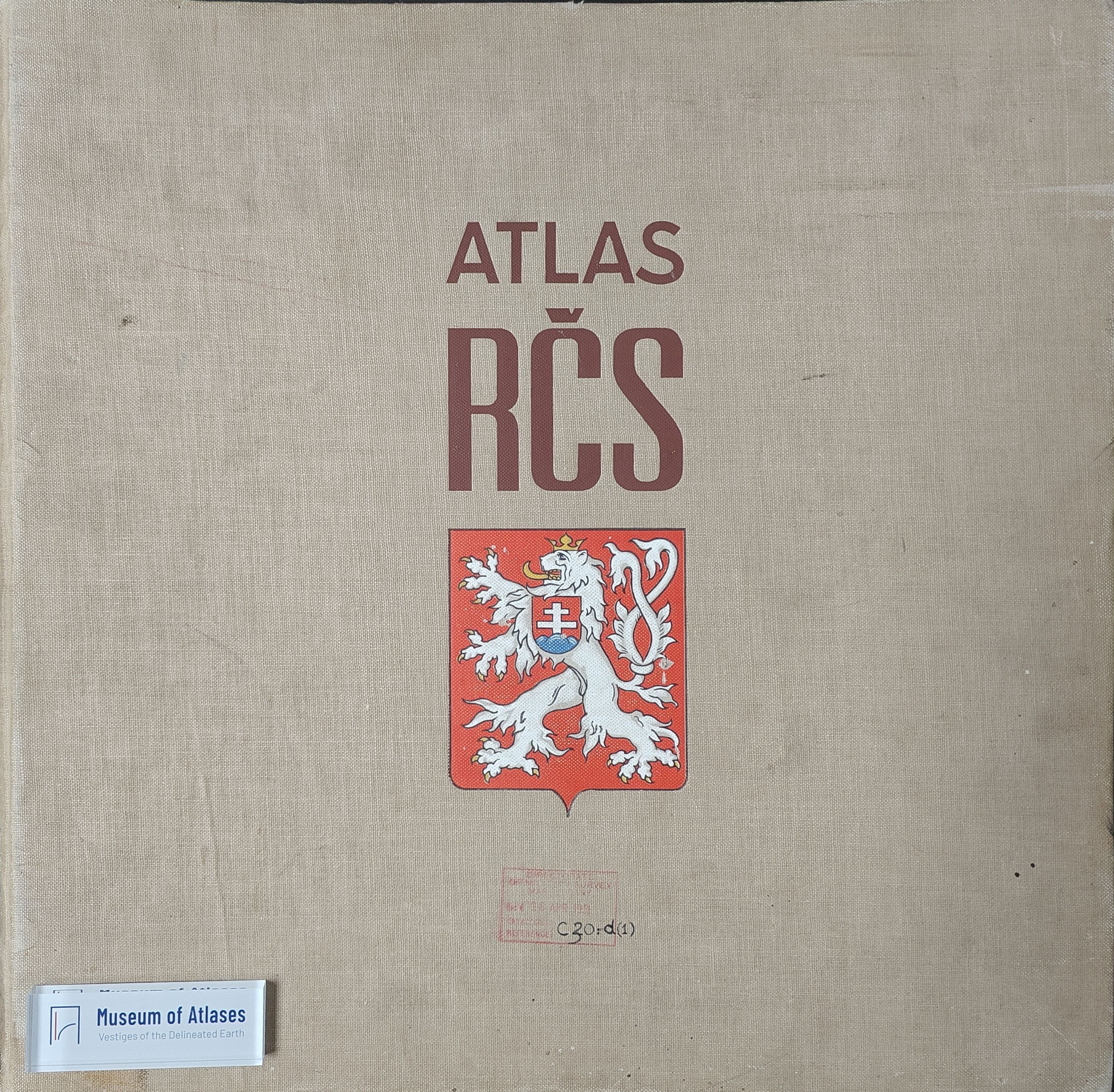
Atlas of the Czechoslovak Republic
Atlas de la République Tchécoslovaque
- Publication
- Comptes rendus du Congrès international de géographie, Paris, 1931
- Volume
- Tome I
- Pages
- 341
Czechoslovak · Version 1
1935–1966V. Svambera describes the compilation and planned publication of the Atlas of the Czechoslovak Republic, conceived after the Great War to depict conditions in the new state. Experts initially proposed seventy sheets measuring 45 × 87 cm; financial constraints reduced the program to fifty-four. Members of the Faculty of Sciences, the Polytechnic School, and central state institutes collaborated on the atlas. Its more than four hundred maps, at scales of 1:1,250,000 and 1:5,000,000, cover geography, climate, population, agricultural production, industry, commerce, transport, and cultural conditions. Svambera stresses the difficulties of combining territories formerly belonging to two states with different administrative systems, regional divisions, and official statistics. Orbis was to publish the atlas under the auspices of the Czech Academy of Sciences, with reproduction undertaken by the Army Geographic Service. The report projected publication in fascicles beginning in October 1931, completion toward the end of 1932, and a selling price of approximately 600 francs.
Related Atlases
Comments
Loading...
0/2000