
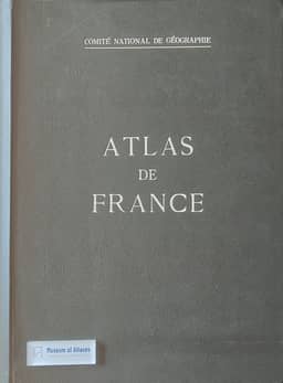
Atlas de France
- Publication
- Surveying and Mapping
- Volume
- 19
- Issue
- 1
- Pages
- 87-90
France · Version 1
1945–1959G. Etzel Pearcy reviews the second edition of the Atlas de France, begun in 1951 to update data, revise production methods and replace weaker maps with more timely topics. At the time of writing, two of its three fascicules had appeared and the third was nearly ready. Its planned 82 double-page plates cover physical geography, biogeography, economic geography, and human and political geography. Pearcy describes detailed treatment of landforms, climate and hydrography; vegetation mapping largely contributed by Henri Gaussen; varied presentations of economic activities; and census-based population maps, with limited political coverage. He welcomes the flexible scales and layouts tailored to individual subjects. The Société Française de Cartographie assembles and processes chiefly official data, including substantial material from INSEE. Pearcy highlights André Libault’s photographic placement of dense distribution symbols and the photographic placement of names, alongside slow, carefully executed printing on old flatbed presses. About 2,500 copies were being printed and sold by subscription; Pearcy notes that the price largely restricted purchasers to libraries and large organizations. He praises the finished plates’ cartographic quality.
View whole-article summary
During recent years there has been a surge of interest in national atlases. $^{2}$ Many fine $^{2}$ “National Atlases: A Summary,” Ena L. Yonge. Geographical Review, Vol. XLVII, October 1957. examples abound in which the geography of a country is presented in map form; each with characteristics reflecting the environment and culture as interpreted by leading cartographic entrepreneurs and technicians. However, the Atlas de France stands as a pioneer in the field, developed to a point where it can be considered as a classic. Cooperation among many of France's leading scientists and adherence to the finest traditions of academic discipline have combined over the years to produce the new Second Edition of the Atlas de France and make it a cartographic model of the national scene.
Related Atlases
Comments
Loading...
0/2000