
Atlas & book reviews: Atlas of Ireland
- Publication
- Western Association of Map Libraries: Information Bulletin
- Volume
- 11
- Issue
- 3
- Pages
- 208-209
Ireland · Version 1
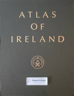
1979This review assesses the Atlas of Ireland, published by the Royal Irish Academy in 1979 and compiled at Trinity College, University of Dublin, under the direction of the Irish National Committee for Geography. The reviewer credits geographers from both political administrations with presenting a unified geographical picture of the island, while noting missing Northern Ireland data on several cultural geography plates. The atlas contains 250 maps, mainly at 1:1,250,000, with metric measurements, clear colors, and space for legends and source credits; its only textual material is the Foreword. The reviewer finds the physical coverage adequate and highlights cultural maps of Irish speakers since 1850, prehistoric, early Christian and medieval sites, field boundaries, and folk traditions as useful to North American students. The reviewer interprets the language maps as showing a substantial increase in Irish speakers in the Republic, but criticizes twelve landform photographs placed at the end of the cultural section without links to the physical maps. The atlas is recommended as an expensive but necessary academic-library acquisition.
Related Atlases
Comments
Loading...
0/2000