
Book reviews: National atlas of Sweden, volumes 1–17
Anmeldelser: Sveriges Nationalatlas Bd. 1-17
- Publication
- Historisk Tidsskrift
- Pages
- 535-539
Sweden · Version 2
1990–2014In this review of several Nordic publications, Karl-Erik Frandsen introduces the National Atlas of Sweden as a state-funded project of 17 thematic volumes scheduled for 1990–95, with Swedish and English editions and accompanying digital publications. He describes its organization around institutional theme hosts and specialist editors. His detailed assessment concerns volume 1, Maps and Mapping, particularly its accounts of Swedish map history, historical map collections, and cadastral maps as historical sources. The volume concludes with a 23-sheet map of Sweden at 1:700,000 and special maps of Skåne and Stockholm. Frandsen praises its illustrations, clear colours, and scholarly yet accessible text, judging it a promising start to the series. He also discusses the disk-based PC-Atlas supplement for the first three volumes, which lets users create thematic maps and add their own data, while noting that its hardware requirements would limit immediate household uptake.
View whole-article summary
This review surveys recent Nordic contributions to historical cartography. It first presents the Swedish National Atlas, a 17-volume work on population, landscape, forests, etc., with printed and digital versions. It then discusses Clas Tollin's application of cadastral maps to cultural heritage management, and two works on Åland: a landscape reconstruction from eighteenth-century maps and Birgitta Roeck Hansen's archaeological/historical study refuting discontinuity theories. Finally, it examines the historical atlas of Reykjavík. These publications demonstrate the value of combining historical maps with other sources for preserving cultural landscapes.
Related Atlases
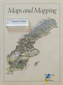
National Atlas of Sweden, Vol. 01: Maps and Mapping
Sweden · 1990
National Atlas of Sweden, Volume 01: Maps of Sweden
Sweden · 1990

National Atlas of Sweden, Vol. 06: The Infrastructure
Sweden · 1992
National Atlas of Sweden, Volume 13: The Cultural Landscape and Settlement
Sweden · 1994
National Atlas of Sweden, Volume 03: The Population
Sweden · 1991
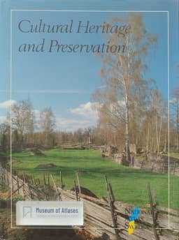
National Atlas of Sweden, Vol. 11: Cultural Heritage and Preservation
Sweden · 1994
National Atlas of Sweden, Volume 06: Infrastructure - Administration, Communications, Energy
Sweden · 1992
National Atlas of Sweden, Volume 08: Cultural Life, Recreation and Tourism
Sweden · 1993
National Atlas of Sweden, Volume 02: The Forest
Sweden · 1990
National Atlas of Sweden, Volume 12: Bedrock and Soil
Sweden · 1994
Comments
Loading...
0/2000