
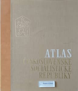
Reviews: Atlas of the Czechoslovak Republic
Anmeldelser: Atlas Republiky Československé
- Publication
- Geografisk Tidsskrift
- Volume
- 67
- Issue
- 1
- Pages
- 111-112
Czechoslovak · Version 2
1966Niels Nielsen reviews the 1966 Atlas of the Czechoslovak Socialist Republic, whose planning was already under consideration when the climatic and phenological Atlas Podnebi appeared in 1958. He emphasizes the substantial organizational, scientific, technical and financial effort behind the national atlas and praises its technical quality. Its 58 sheets accommodate national maps at 1:1 million and smaller scales. Czech texts have English and Russian summaries, and map titles and legends are translated into both languages; Nielsen regards the Czech-only accompanying map text as an obstacle that still allows international geographers to use the material. He particularly recommends the maps of population and economic development in 1921–1961, including maps 25–40. These document the expulsion of approximately 2.5 million Germans, wartime losses and subsequent demographic and economic recovery. He contrasts depopulation and concentration in industrial cities in Bohemia with more evenly distributed population growth in Slovakia, especially in its valleys. Nielsen argues that the atlas allows some differentiation of the geographical effects of state development, migration, war, post-1950 reorganization, technological change, urbanization and changing land use.
Related Atlases
Comments
Loading...
0/2000