
An Outstanding National Atlas
- Publication
- The Geographical Journal
- Volume
- 125
- Issue
- 1
- Pages
- 96-97
India
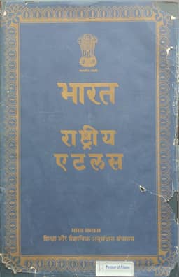
1957L. Dudley Stamp reviews the 1957 Preliminary Hindi Edition of the National Atlas of India, edited by S. P. Chatterjee under the Second Five-Year Plan. Despite a shortage of trained personnel, the Calcutta team, supported by Survey of India printing facilities at Dehra Dun, completed it within twelve months. Its 26 sheets use a standard scale of 1:5,000,000 for the main maps and metric units throughout. Hindi maps are accompanied by English place-name and key translations and bilingual descriptive text, an arrangement Stamp praises for combining national aspirations with international usability. He highlights the administrative detail, climate maps redrawn from about 3,000 stations, and thematic maps linking crops with industries, cattle with population or arable land, and transport with traffic and accessibility. He commends the atlas's methods of cartographic representation while finding the grey base maps too faint. Stamp regards it as a clear national overview that leaves detailed land-use surveying necessary, and reports that a larger atlas of over 300 plates is already in preparation.
Related Atlases
Comments
Loading...
0/2000