
A suggestion to include a few more maps in the National Atlas of India
- Publication
- Selected Papers, Regional Geography and Cartography
- Volume
- 4
- Pages
- 344
India
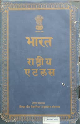
1957Narvedeshwar Prasad proposes additional maps and illustrations for the 1957 preliminary National Atlas of India, which contains 79 maps and 21 inset sketches. He recommends an India-centred retro-azimuthal map to clarify directional relationships with other parts of the world, and four agricultural maps showing January and July sunshine hours, annual sunshine totals, and radiation isolines. A proposed irrigation-potential map for unirrigated or underirrigated areas would require studying water balances and assessing usable reserves. Further maps would cover economic timbers and other principal forest products, commercially cultivated fruits and spices, poultry farms and their relative size, educational provision for actual and potential students, broadcasting stations and frequencies, district living standards measured by average annual per capita expenditure, and food-grain surplus and deficit areas. Suggested illustrations include monthly solar-altitude graphs at noon and 9 a.m. for five cities, the annual range of the equation of time, and comparisons of principal mountain-peak elevations and river lengths. These recommendations express Prasad’s view of the physical and cultural information a national atlas should provide.
Related Atlases
Comments
Loading...
0/2000