
Atlas zur Raumentwicklung: A new thematic atlas and a contribution towards the solution of regional-planning problems
- Publication
- First United Nations Regional Cartographic Conference for the Americas, Panama, 8–19 March 1976. Vol. II: Technical Papers
- Pages
- 261–263
Summary
The Atlas zur Raumentwicklung (Atlas of Regional Planning) represents a new type of thematic atlas. Two fundamental ideas characterize this work: a) Experts and interested laypeople alike should have access to information on regional conditions and problems; b) Information presented in different forms should be provided to users seeking answers to specific questions. The atlas contains maps as well as diagrams and tables, and each sheet is accompanied by an explanatory text. This text clarifies the statistical basis of certain maps. This type of thematic atlas thus provides an interesting example for any country where the quality of official statistics has not yet reached a very high level.
Related Atlases
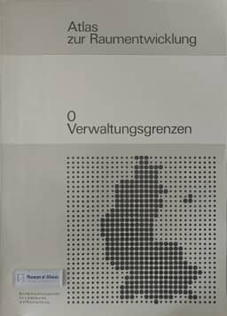
Atlas of Spatial Development 0: Administrative Boundaries
West Germany · 1982
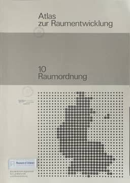
Atlas of Spatial Development 10: Spatial Planning
West Germany · 1985
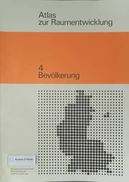
Atlas of Spatial Development 4: Population
West Germany · 1976
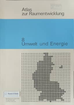
Atlas of Spatial Development 8: Environment and Energy
West Germany · 1982
Atlas of Spatial Development 6: Leisure
West Germany · 1977
Atlas of Spatial Development 3: Transport
West Germany · 1976
Atlas of Spatial Development 9: Disadvantaged Areas
West Germany · 1982
Atlas of Spatial Development 2: Education
West Germany · 1976
Atlas of Spatial Development 7: Land Use
West Germany · 1976
Atlas of Spatial Development 5: Housing
West Germany · 1976
Atlas of Spatial Development 1: Work
West Germany · 1977
Comments
Loading...
0/2000