
Chile
National Atlases
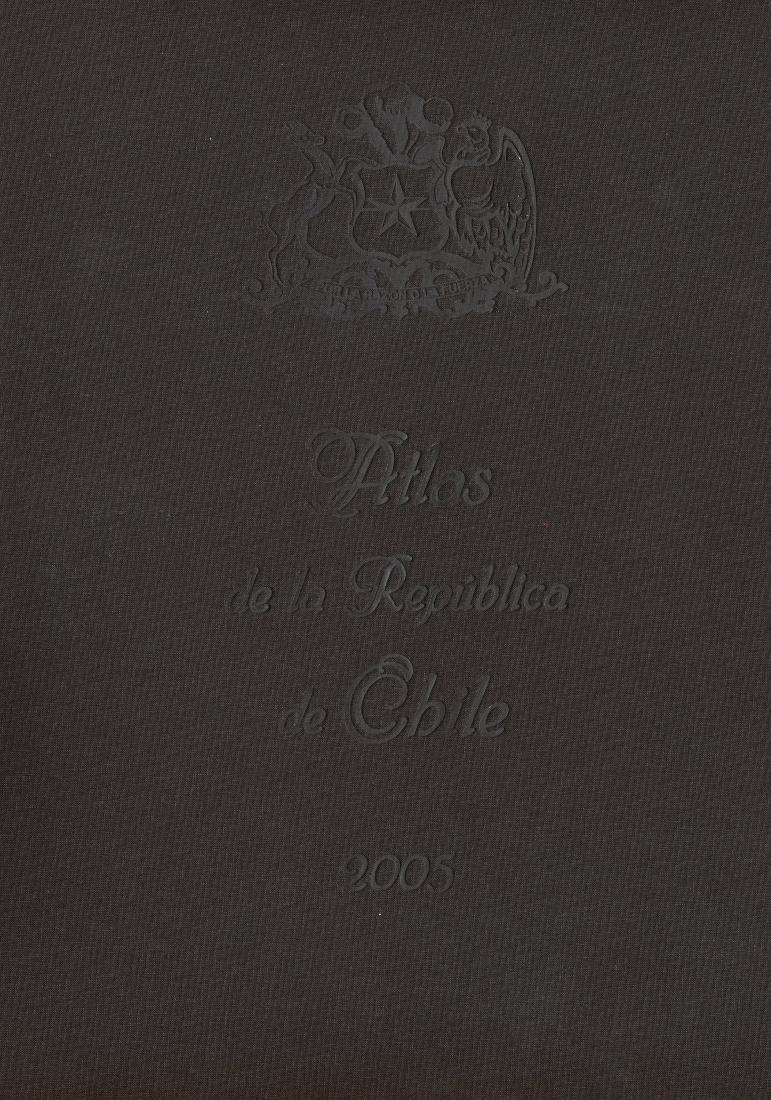
The national atlas tradition of Chile, as represented in this collection, spans four editions published between 1966 and 2005, all in French. These works reflect a sustained effort to document the country's geography, resources, and territorial identity during a period of significant political and social transformation. The earliest atlas (1966) emerged in a context of modernization and state-building, when cartography served as a tool for national integration and international visibility. Subsequent editions (1970, 1983, 2005) demonstrate evolving cartographic techniques and shifting emphases, from resource mapping to demographic and environmental themes. The editorial approach consistently prioritized comprehensive coverage—physical geography, administrative divisions, economic activities—presented in a standardized, atlas-like format. Notably, the use of French suggests an intended audience beyond national borders, positioning these atlases as diplomatic and scholarly instruments. While no contemporary critical commentary accompanies these volumes, their repeated publication over four decades indicates official endorsement and institutional continuity. Together, they constitute a valuable record of Chile's cartographic self-representation, offering researchers a longitudinal view of how the nation mapped itself during the late twentieth and early twenty-first centuries. Their legacy lies in establishing a durable template for national cartography in South America, influencing later regional and thematic mapping projects.
Versions and Their Documents
Contemporary and Later Comment
- Journal Article1967Registro de mapas temáticos: Atlas de la República de Chile
R. Pinto Barbosa; C. de Castro Botelho
This paper reviews the Atlas of the Republic of Chile, published by the Military Geographic Institute of Chile in 1966. The atlas, a collaborative effort between the institute's technical staff and scholars from the University of Chile, aims to employ cartography to comprehensively depict the geographic reality of Chilean territory. It is organized into three parts: the first presents background materials including astronomical maps and the political map of Chile; the second comprises 14 physical maps of Chile at 1:1,000,000 scale, using a modified polyconic projection and supplemented with photographs; the third contains 15 thematic maps at 1:4,530,000 scale covering physical, demographic, and economic aspects. While acknowledging the atlas's overall value, the author identifies several shortcomings, such as the absence of historical maps in the background section, the lack of a regional division map, the omission of a vegetation map, the improper sequencing of geological and geomorphological maps, and unclear classification in population density symbols. The author concludes by expressing hope that the institute will continue its efforts to produce an even more refined National Atlas of Chile in the near future.
- Journal Article1972Atlases of the western hemisphere: A summary survey
Richard W. Stephenson
This article reviews significant atlases published in the Western Hemisphere (including North America, South America, and Central America and the Caribbean) since Ena L. Yonge's summary survey in 1962. The survey is divided into two parts, with this part focusing on the Western Hemisphere, covering 147 volumes of general and thematic atlases of the entire hemisphere, continents, major regions, and individual countries, as well as atlases of individual states and provinces of the United States and Canada. Notable atlases mentioned include the 'Alpha Map Transparencies' series for teaching regional geography, Theodore R. Miller's 'Graphic History of the Americas,' David K. Adams and H. B. Rodgers' 'An Atlas of North American Affairs,' and the 'Oxford Regional Economic Atlas: United States & Canada.' The Canadian section details the fourth edition of 'The National Atlas of Canada,' the 'Atlas and Gazetteer of Canada,' historical atlases, and the 'Atlas of Alberta.' The South American section covers atlases from Argentina, Brazil, Chile, Ecuador, Peru, Surinam, and Venezuela, such as the 'Atlas nacional do Brasil,' 'Atlas histórico geográfico y de paisajes peruanos,' and 'Atlas de Venezuela.' The article aims to describe the contents and features of these atlases rather than provide critical evaluations, and concludes by suggesting that the next decade may see an increase in the production of high-quality atlases by Western Hemisphere nations.
- Journal Article1984Atlas & Book Reviews: Atlas de la Republica de Chile, 2nd ed.
Dale Steele
This review evaluates the second edition of the Atlas de la Republica de Chile, published by the Instituto Geografico Militar (Chile) in 1983. The atlas presents a comprehensive, full-color overview of Chile's physical geography, economic resources, and population conditions, organized into five sections: general background, physical maps, regional thematic maps, a gazetteer, and appendices. The regional thematic section, the largest, systematically covers topics such as geology, climate, population, and economy for each of the country's thirteen administrative regions. Despite minor printing registration issues and some map labeling design flaws, the atlas is praised for its rich, relatively current information (mostly from mid-to-late 1970s sources), attractive presentation, convenient format, and competitive price, making it a valuable reference on Chile.
From the Physical Collection
Photographs are being prepared for this hall.