
Bolivia
National Atlases
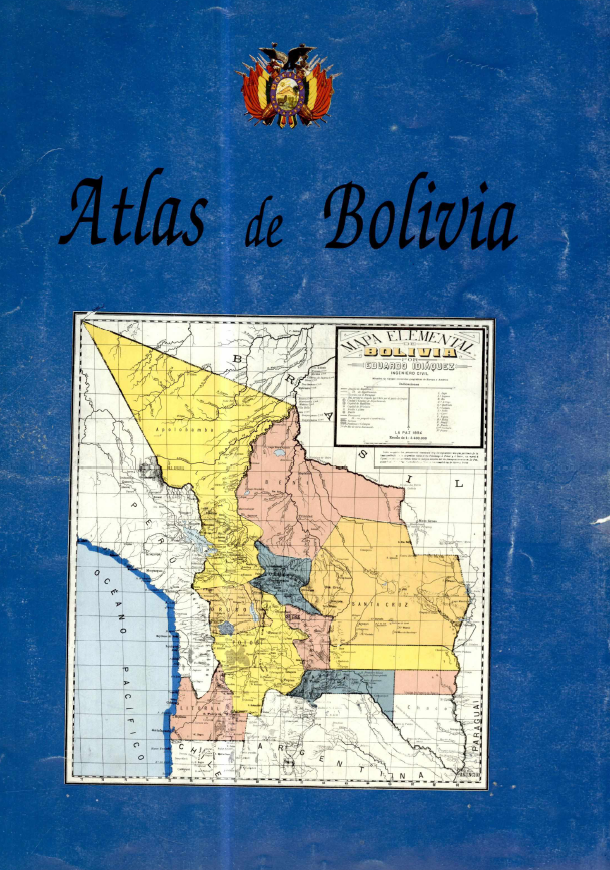
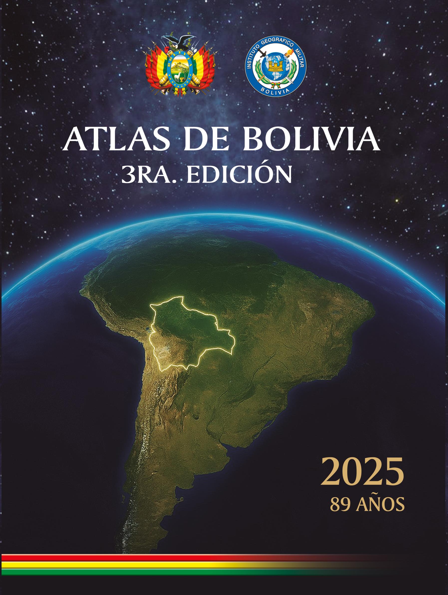
The Bolivian national atlas tradition, as preserved in this collection, reflects a sustained commitment to cartographic self-definition spanning four decades. The three volumes—1985, 1997, and 2025—were all produced under the aegis of the Instituto Geográfico Militar (IGM), with the earliest also involving the Geomundo publication. This continuity underscores the IGM's role as the principal custodian of Bolivia's spatial knowledge. The 1985 atlas emerged during a period of democratic consolidation, serving both as an inventory of national resources and as a tool for regional planning. The 1997 edition, published by the IGM alone, refined thematic layers, emphasizing demographic shifts and environmental data. The 2025 atlas, the most recent, integrates modern geospatial technologies, reflecting a digital turn while maintaining the print tradition. Together, these atlases chart Bolivia's evolving territorial consciousness—from a post-colonial state asserting its borders to a nation embracing data-driven governance. Their significance lies not only in their cartographic detail but in their role as official narratives, shaping how Bolivians and the world perceive the country's geography, culture, and development. As a corpus, they offer a rare longitudinal view of a nation's self-representation, making them invaluable for scholars of Latin American cartography and state formation.
Versions and Their Documents
Contemporary and Later Comment
- Journal Article1995Homenaje a la Patria: Latin American National Atlases
Robert B. Kent
This article reviews and evaluates six recently published national atlases from Latin America, including the Atlas de Colombia (4th edition), Atlas Nacional de México (3 volumes), Nuevo Atlas Nacional de Cuba, Atlas de Perú, Atlas Nacional de la República de Panamá, and Atlas de Bolivia. The article first defines the criteria for a 'national atlas': it must be produced under the auspices or with the approval of the national government, aim to provide broad thematic coverage of the nation, and be produced to high intellectual and cartographic standards for scholarly research. It then provides detailed assessments of each atlas, covering physical specifications, organizational structure, thematic content, cartographic quality, and strengths and weaknesses. The Atlas Nacional de México is particularly praised for its monumental scale, rich thematic coverage, and fine cartography, though it is noted for overly complex symbols and lack of an index. The Nuevo Atlas Nacional de Cuba is recognized as a continuation of Cuba's strong cartographic tradition, demonstrating extensive collaboration and high production quality. Other atlases show varying strengths in thematic breadth and presentation but commonly suffer from vague citations, lack of general bibliographies, or missing indexes. The article concludes that while the quality of these atlases ranges from outstanding to barely acceptable, all serve as valuable reference sources for Latin American studies, with environmental, cultural, and historical content retaining long-term utility, and recommends their acquisition by university libraries with relevant programs.
From the Physical Collection
Photographs are being prepared for this hall.