
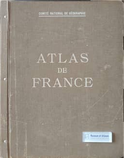
On the completion of the “Atlas de France”
Zur Vollendung des „Atlas de France“
- Publication
- Petermanns geographische Mitteilungen
- Volume
- 89
- Issue
- 3–4
- Pages
- 120–124
Summary
Berthold Carlberg reviews the completion of the Atlas de France, issued by the Comité National de Géographie with contributions from Demangeon, de Martonne, de Margerie, Camena d’Almeida and others. Its first sheets were presented in 1931, publication began in 1933, and the review lists 80 sheets covering physical conditions, population, economic activities and other themes. Comparing French, Finnish, German and planned Swiss national atlases, Carlberg discusses their thematic organization and the collaboration required between cartographers, subject specialists and geographers. He praises the French atlas’s engraving and technical execution but criticizes defects in the 1939 geological map, abrupt colour transitions and inconsistent colour symbolism. He examines its predominant use of administrative-area statistical mapping, whose boundaries can misrepresent spatial distributions, alongside examples of point and industrial-location maps. Population sequences illustrate change through successive analytical maps. Carlberg distinguishes these from proposed synthetic and dynamic representations for future atlases, while maintaining that accurate analytical maps remain their essential foundation. He concludes that the French atlas’s thorough, factual mapping should retain its value for generations.
Related Atlases
Comments
Loading...
0/2000