
The Atlas of Canada Project
- Publication
- Canada Year Book 1959
- Pages
- 12–13
Summary
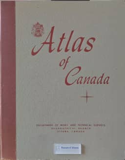
N. L. Nicholson describes the planning, compilation and organization of the federal Atlas of Canada, available for distribution in December 1958. He traces its antecedents to a reference atlas produced in 1905 and a revision ten years later, followed by a 1937 proposal and a 1945 report recommending federal responsibility. The government authorized the project in December 1948, assigning coordination to the Geographical Branch of the Department of Mines and Technical Surveys. Interdepartmental committees gathered subject recommendations, with planning completed in 1954. Production combined the collection, interpretation and compilation of material with preparation of Lambert Conformal Conic base maps at four numerically related scales; the first sheet went to printing in 1955. Nicholson explains the sequence of the atlas’s 110 plates: exploration and early maps, modern mapping, physical geography, population, resource use and economic networks, institutions and settlements, political evolution and international affiliations. He presents this arrangement as a way to explain Canada’s internal development and some of its international relations.
Related Atlases
Comments
Loading...
0/2000