
Territorial atlases: The production problem facing survey departments with limited resources
- Publication
- United Nations Regional Cartographic Conference for Africa, 1–12 July 1963, Nairobi, Kenya. Vol. 2: Proceedings of the Conference and Technical Papers
- Pages
- 290–292
Summary
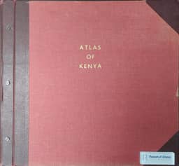
Drawing on the first two editions of the Atlas of Kenya, Dalgleish describes how a government survey department with limited resources produced a territorial atlas using existing information, staff and equipment. Planning balanced coherent content and cartographic clarity with production capacity and cost recovery, envisaging 44 maps and ten pages of text, conventional layer colouring and loose-leaf binding. The account covers interdepartmental data collection, coordination between the editor and subject specialists, revision deadlines, fair drawing, proofing, offset printing, gazetteer compilation and assembly. The second edition benefited from first-edition sheets and published criticism, while its retail price was raised to accommodate booksellers’ discounts. Practical limitations included uneven currency across maps, unrealized plans for supplementary loose sheets and defective binders. The author presents these procedures as a record of production experience without claiming that they were optimal.
Comments
Loading...
0/2000