
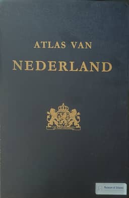
Book reviews: Atlas of the Netherlands
Rezensionen: Atlas van Nederland
- Publication
- Petermanns geographische Mitteilungen
- Volume
- 123
- Issue
- 3
- Pages
- 212
Summary
W. Stams reviews the tenth through twelfth installments of Atlas van Nederland (Atlas of the Netherlands). The tenth chiefly covers transport, using a distorted world grid with varying scale for aviation, flow bands for road and rail traffic, and circles and cartograms for inland navigation. Stams also praises its maps of 21 historical farmstead types in 1550, 1700, and 1850, supported by drawings of their appearance and plans. The next two installments contain ten sheets on tectonics, geology, biogeography, nature conservation, hydrogeology, water pollution, industry, and seaports, with Dutch and English explanatory texts. The review describes tectonic mapping beyond national boundaries and beneath the sea, clearly differentiated geological units, groundwater maps and vertically exaggerated profiles, five water-quality classes, and industrial employment cartograms. Stams gives particular attention to detailed maps of eight major seaports showing infrastructure, harbor depths, and nearby industry. He finds the specialized subjects informative when compared within broader thematic groups and the varied adaptations of mapping methods highly stimulating. The final installment was announced for 1977, bringing the atlas to 98 sheets, with 16 additional sheets for updating.
Comments
Loading...
0/2000