
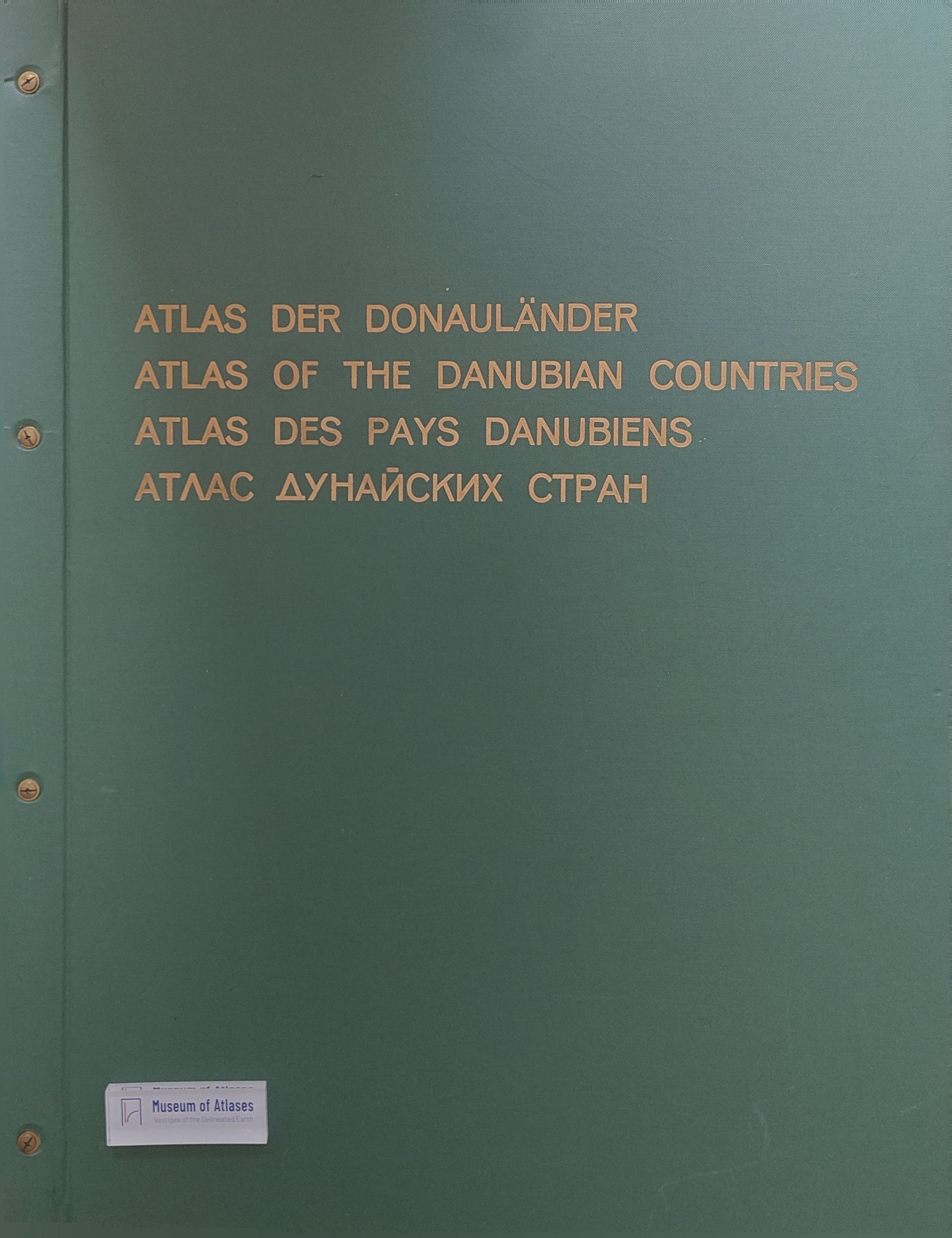
Reviews: Atlas der donauländer. Lieferung 2. und 3.
- Publication
- Geoforum
- Volume
- 4
- Issue
- 2
- Pages
- 99-100
Summary
Wolf Tietze reviews the second and third installments (1972/73) of Josef Breu’s Atlas der Donauländer, which add ten maps on population, electricity, and industry. He praises their cartography, printing, explanatory texts, and inventive presentation despite highly uneven source material. He highlights the historical and sociological value of the natural population change and illiteracy maps. The urban development map for 1930–1960 uses a geographically comparable definition across countries, selecting localities or municipalities with more than 10,000 inhabitants; explanatory notes and tables clarify population and area changes and place-name changes. Tietze finds that comparisons between urban and industrial locations invite further analysis, while the industrial maps’ accompanying texts reduce the need for extensive source research. He reiterates his wish for greater attention to historical regional geography and requests a map of named regions and their extents, including border-zone questions. With 15 of the planned 48 sheets published, he strongly commends the work completed.
Comments
Loading...
0/2000