
Reviews: Atlas der Donauländer
- Publication
- Cartographica
- Volume
- 27
- Issue
- 1
- Pages
- 93-95
Summary
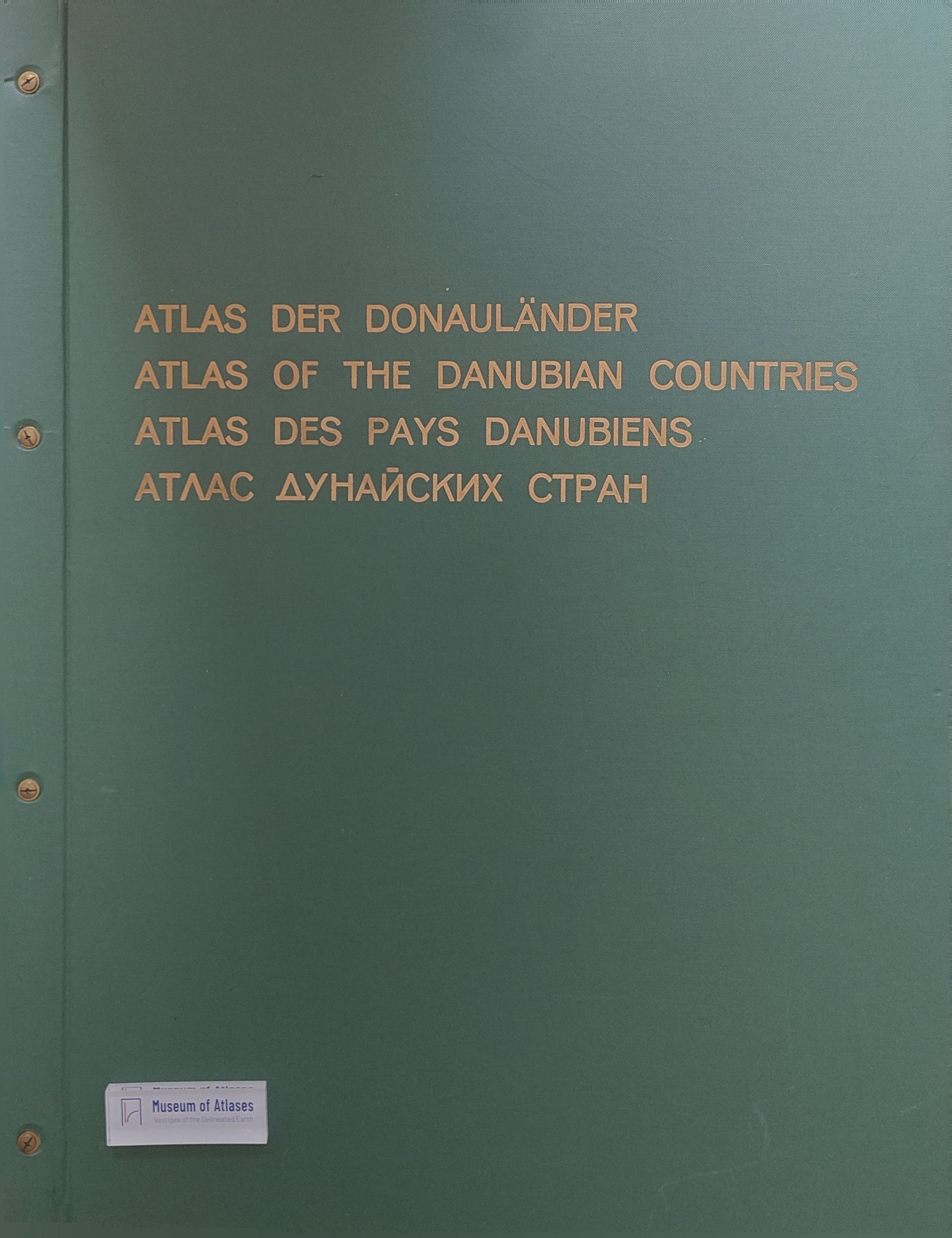
William G. Dean reviews Josef Breu's Atlas of the Danubian Countries, describing it as 33 years in the making and published in German, English, French and Russian during 1970–1989. Initiated by Austria's education ministry after the 1955 State Treaty, the project sought comparable thematic data and academic and political links across the Cold War divide. Work remained preparatory until Breu's appointment in 1963; Dean credits his coordination and diplomacy with securing contributions from academies and universities across the region. The atlas contains 144 maps on physical geography, population, economic activity and communications, arranged on 48 foldout plates, mainly at 1:2 million. Its coverage excludes the Danube's headwaters, and accompanying texts explain data use and calculations. Dean surveys its detailed demographic and economic coverage and examines two plates: Commuter Regions, praised for its international detail, and Economy, General Survey, praised for making a complex synthesis legible through carefully chosen symbols, colours and linework. He commends the atlas's consistent design and Breu's international collaboration, notes its prohibitive price, and regards it as a baseline for measuring economic changes accompanying Eastern Bloc democratization.
Comments
Loading...
0/2000