
Review of the National Atlas of the United States
《美国国家地图集》评介
- Publication
- 地图制图
- Issue
- 1
- Pages
- 38-40, 16
Summary
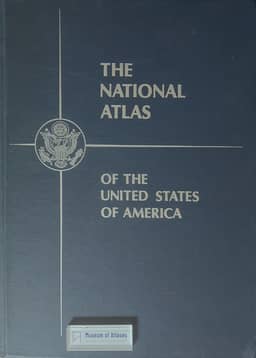
Hua Kuiyuan reviews the 1970 National Atlas of the United States from a cartographic standpoint. He first recounts its compilation: proposals for a national atlas were raised by U.S. government agencies and scholarly bodies from the 1930s–40s, and in 1952 the American Geographical Society issued a sample volume of over 300 maps; in 1963 Congress and the government assigned the Geological Survey, with more than eighty federal agencies and over twenty scholarly societies, to produce the atlas, which appeared in 1970. The folio volume of 215 pages comprises general reference maps (54 sheets), special subject maps (281 sheets in seven sections: physical, historical, economic, social and cultural, political-administrative, surveying and cartography, and world maps), and a gazetteer (80 pages, over 42,000 names). Hua commends the format, the scale system in integral multiples, the uniform Albers equal-area conic projection, and the coordination of base maps, content indicators, source data and representation methods; he also notes the large share and completeness of the general reference maps, their fine symbols and lettering, and the inclusion of new themes such as air and water pollution. His criticisms concern subject selection: the physical maps lack mineral-deposit, Quaternary deposit, drainage-basin and zoogeographic maps and leave the Great Lakes blank; historical maps are disproportionately numerous and cluttered; economic maps omit shipping, communications, port throughput, fisheries and banking/insurance, and the foreign-trade map is misplaced in the world section; population maps are not a separate section; over ten political-administrative sheets show merely federal agency divisions; surveying and cartography takes an excessive 12.1 percent; and a separate world map section is inappropriate.
Related Atlases
Comments
Loading...
0/2000